Due to the wild weather swings during winter it is a great month to see lots of different cloud types. The atmosphere tends to be a lot more wild during the winter months over Georgia. In just the past 2 weeks we’ve seen thunderstorms and snow. This week and next we’re going to be taking a look at different cloud types you can see during these fun times.
Clouds are generally divided into 3 groups: low, mid and high. Low clouds form less than 6,500ft above the ground, mid-level form from 6,500ft-23,000ft and high clouds form from 16,500ft-45,000ft. Very few types of clouds develop above 45,000ft due to a lack of moisture, but we’ll cover the ones that do later. Today we’re going to look at one group: high clouds!
All high clouds begin with the phrase “cirro” which was assigned initially by British scientist Luke Howard in 1802. They are then further divided into sub-types based on their composition, method of formation and appearance.
High clouds are made up mostly of ice crystals due to their height, and the most popular type of these are cirrus clouds. Cirrus clouds are common year-round, but are more prolific in our area during winter than summer. Cirrus clouds are very thin and occur commonly well ahead of cold fronts. They are commonly considered a fair-weather cloud although they can form above thunderstorms when the updraft forces water high above the storm. They appear thin and wispy and often make for incredibly beautiful sunsets.

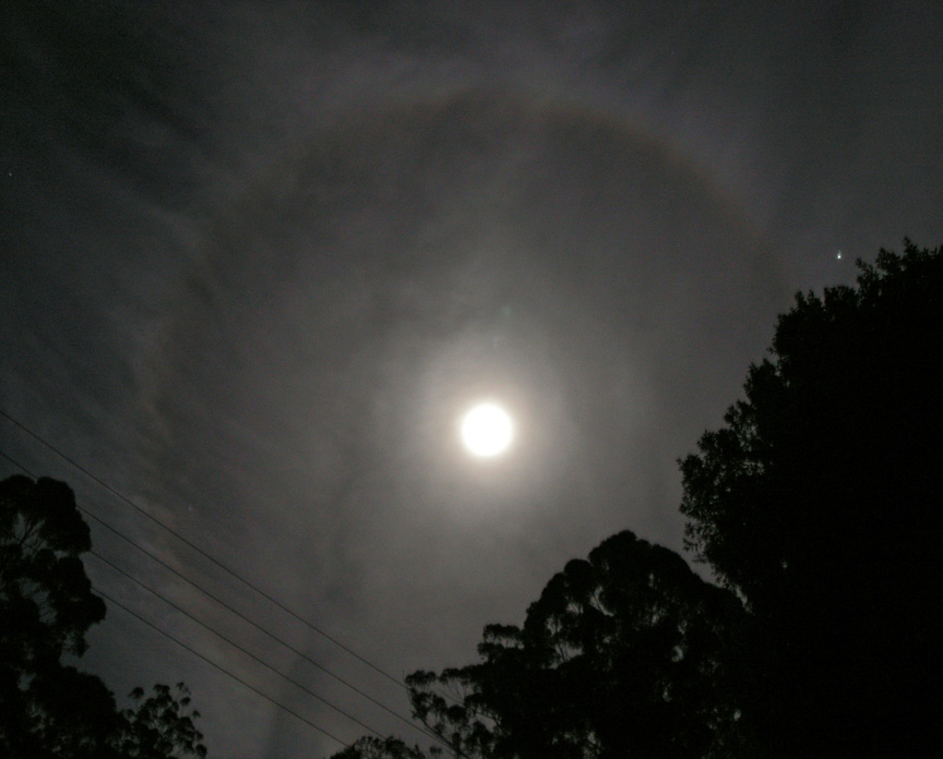
Another type of high cloud is cirrostratus. The phrase “stratus” is used commonly for any flat-bottomed clouds. Cirrostratus are similar to cirrus, but indicate an increase in moisture. They are common ahead of cold fronts and often indicate that rain will soon be on the way. They are also the most common cause of halos around the sun and moon. There is an old wives tale that says the number of visible stars inside the halo is how many days until it rains. As I mentioned before these clouds do almost always come ahead of rain so there is some truth to this tale, though the number of stars inside has nothing to do with it.
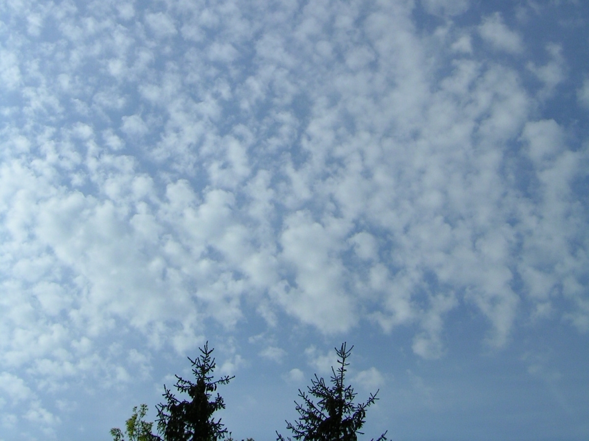
The third type of high clouds are cirrocumulus. These clouds are primarily made of ice but do include a bit of supercooled water droplets. They are less common than the other two types of high clouds and only form in patches. They appear as a lot of thin, puffy clouds all distinct from one another but very close together. Cirrocumulus indicate instability in the troposphere which most commonly occurs ahead of a cold front. Much like their cousin cirrostratus, cirrocumulus indicate that rain is most likely on the way. Locally we also see these during the summer when pop-up thunderstorms are occurring.
All three of these high cloud types occur during the winter across the southeast US. They can almost all be seen ahead of cold fronts and with cirrostratus and cirrocumulus you can use them to forecast weather without need of a phone app!
Check back next week as we tackle mid-level clouds!

