
We’ve spent the last few weeks covering different types of clouds. From high clouds to thunderstorms we’ve covered just about every type of cloud you can expect to encounter on a normal basis. This week we’ll spend one more week taking a look at the remaining cloud types. From common and simple to rare and strange, this week contains some of the most interesting cloud formations.
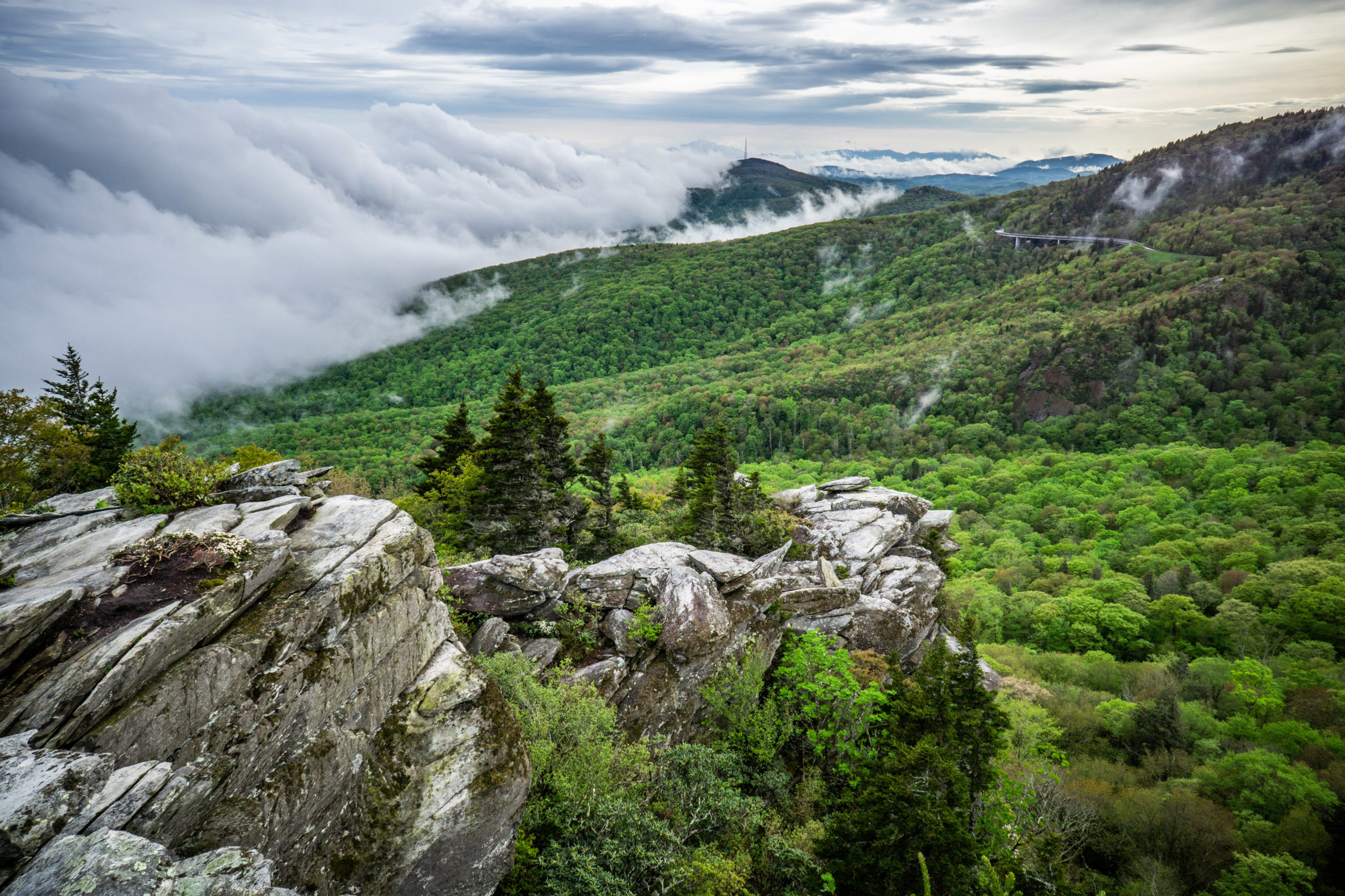
First up: fog! That’s right, fog is a cloud. Fog is defined as a cloud that touches the ground. Fog is extremely common during the winter across Northeast Georgia, particularly when a wedge in impacting us with a stiff northeast breeze. Fog forms when the air near the ground cools to its saturation point, causing small rain drops to develop like they normally would higher in the atmosphere. The reason this is particularly common during the winter is because without leaves, the air near the ground tends to cool quite a bit quicker than it does in the summer. In addition, the colder air settles much easier into the valleys which aids in fog development. Oftentimes you can get out of the fog by simply climbing up. This is especially true when a “wedge” of cool air develops. Having the cooler air near the surface in combination with plentiful moisture allows that all-day-long fog we see some days.
A rarer type of cloud is one we will never see here across Georgia: polar stratospheric clouds. Polar stratospheric clouds (PSCs) are exactly what they sound like. They are clouds that develop in the stratosphere at heights of 49,000ft-82,000ft. They are the second highest cloud type behind noctilucent clouds and only develop during the winter at polar latitudes. They are most often observed after the sun goes down rather than during daylight due to their extreme height. Since the stratosphere is very dry, these clouds require temperatures below -100F to form. Cold of this type is only possible during the winter months and they are never seen below the arctic circle. There are many sub-types but the most spectacular of these clouds produce iridescence: a rainbow pattern due to the sun reflecting through the ice crystals.

The last form of cloud I want to cover is one that occurs a bit more frequently but has the best form of any clouds. Lenticular clouds are a stationary cloud type that form when moist, stable air is forced upwards over a mountain or hill. As the air is forced upwards it develops a standing wave in the atmosphere. In certain situations the air will drop below local dewpoint allowing a cloud to form. Due to the turbulent nature of the air being forced upwards these clouds often develop into a UFO type shape. Indeed these types of clouds have been blamed for UFO reports before. They are most common over tall, sharp peaks but can form over our mountains here in Georgia.


And so this concludes our foray into the wonderful world of clouds. We’ve just really scratched the surface over the past month but I hope you enjoyed it.
Next week we’ll change gears and tackle another topic.
Have a great week and, as always, watch the skies!


