
A Wind Advisory remains in effect with mountain snow showers expected tonight.
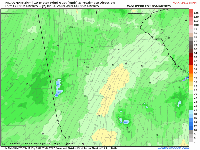
A Wind Advisory is in effect through 7PM Wednesday evening. Wind gusts of 35-45MPH are possible through the afternoon. Overnight, winds will continue to remain gusty and an extension of the wind advisory is possible for the higher elevations of the mountain counties. Temperatures will drop rapidly from mid-afternoon on as well. Wind chills will dip well into the 20s or upper 10s overnight tonight.
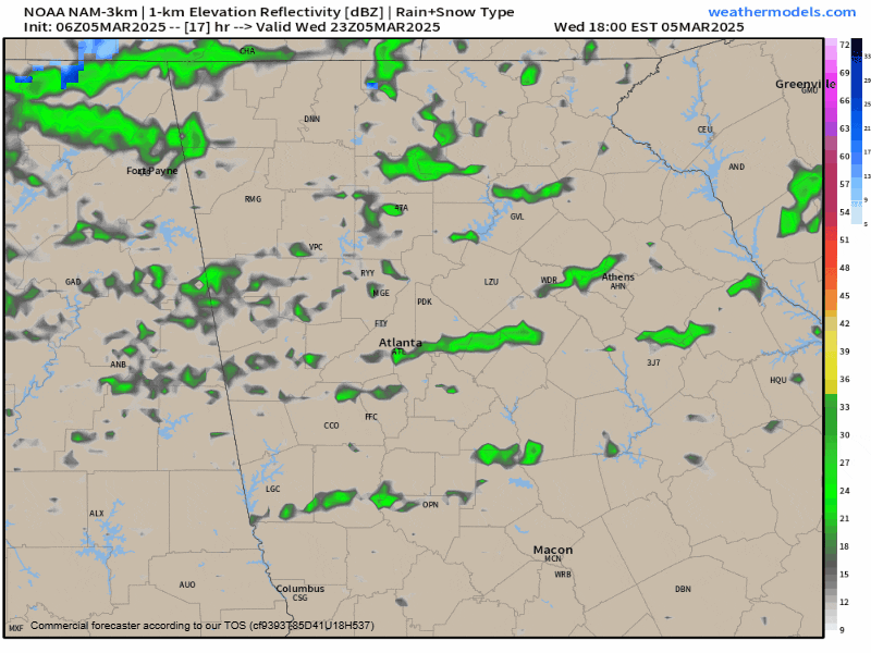
With the bulk of the rain now moved away from us, our attention turns to the precipitation on the backside of the low pressure system. Showers are expected to move back in from the west/northwest later today but remain isolated to scattered in nature. These showers will mix with and eventually change over to snow at higher elevations tonight. The highest elevations could see a change to snow as early as 7PM tonight with the snow level gradually dropping through midnight. Flurries or even a light snow shower are possible as far south as the I-85 corridor from 8PM-11PM, but will be relegated to the mountains after that time. Accumulations are expected to be light, but up to 1″ is possible at spots over 3,000ft, areas like Sky Valley and Suches.
Stay warm!


