Last week we began a look at different cloud types. We covered “high” clouds last week, those that form above 16,500ft.
This week we’re going to move a little lower in the atmosphere and look at by far the most common types of clouds: mid-level clouds.
Mid-level clouds are generally associated with precipitation and generally develop between 6,500ft and 23,000ft. They are generally made up of rain droplets rather than ice crystals during summer.
The first of these is the Altostratus clouds. These clouds usually form between 7,000 and 23,000ft. They are generally associated with warm fronts since they are caused by the gradual lifting of stable air. They are common in our region well ahead of cold fronts and generally signal incoming rainfall. Altostratus clouds are featureless and what you probably think of when you imagine a grey, cloudy day.
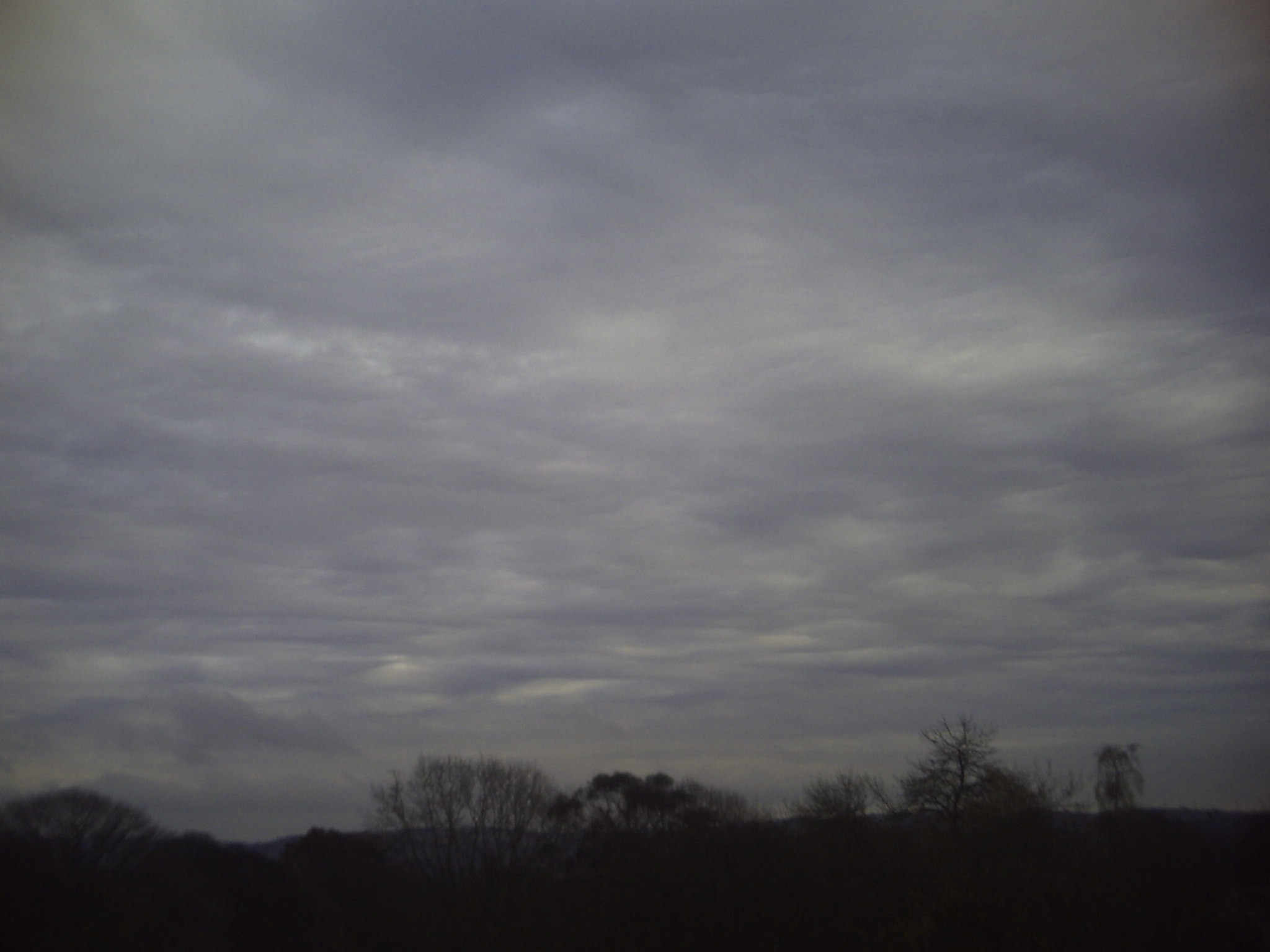
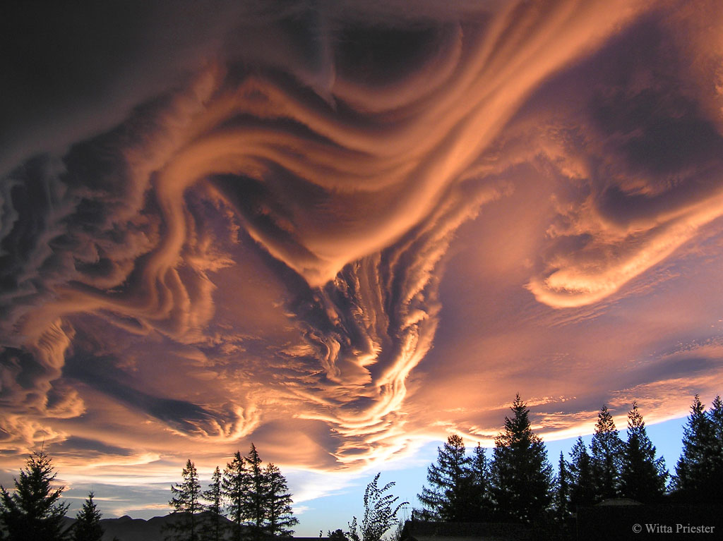
Not all altostratus clouds are featureless, though. They can develop “waves” like you see in the ocean due to a number of things. Wind shear is the most common cause of wavy (or undulating) altostratus. We see these clouds a lot locally due to the mountains causing the air to be lifted higher over the peaks and lower over the valleys. This often occurs to the southeast of the mountains as well due to gravity waves over the mountains. Historically these were considered a sub-type of altostratus although in 2017 particularly impressive displays of these clouds were given their own name: Asperitas.
Another common type of mid-level cloud are altocumulus. Much like the cirrocumulus clouds we looked at last week, these clouds form individually rather than as a sheet. These clouds are common during the summer and often indicate that storms will form later in the day. Altocumulus clouds are divided into several sub-categories depending on their appearance. They almost never produce precipitation though like their featureless cousin altostratus they often occur before precipitation begins.
Then, there’s the nimbostratus. Nimbostratus clouds actually cover multiple levels of the atmosphere, occurring between 3,000ft and 18,000ft. They generally begin development in the mid-level range, though. They develop most often along warm fronts where the atmosphere is undergoing slow lifting. They almost always produce rainfall and are generally featureless. If you step outside on a day when the wedge is dominating our weather you will almost certainly see some nimbostratus clouds. While they don’t generally produce thunder, they can occur alongside cumulonimbus (thunderstorm) clouds.

Mid-level clouds occur commonly, and we will see plenty of them this weekend as a low pressure system brings rain and wintry precipitation to our area.
Stay warm and safe in this weather and, as always, watch the skies!

