
We’ll cool off behind the weekend front with even colder air behind another front mid-week.
We’ll see sunny skies on President’s Day Monday with high temperatures climbing back into the 50s. Winds could be a bit breezy at times with gusts up to 15MPH possible, but nothing near what we experienced on Sunday.
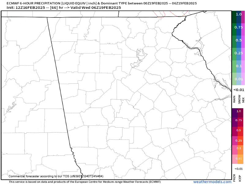
All attention this week lies on an area of low pressure expected to develop near the Gulf of Mexico on Tuesday. This low will push into South Georgia by Wednesday morning spreading widespread precipitation across North Georgia. It currently appears we could see precipitation begin as a wintry mix of rain and snow across Northeast Georgia. The latest from the Euro model is below and shows this potential. Unfortunately, this period of mixed precip likely won’t last very long, but it bears watching. Some models have shown the potential for a quick 1-2″ of snow depending on the exact track of the low, so stay tuned for any changes.
Regardless of any wintry precip it will turn significantly colder behind the front. Highs on Thursday won’t climb out of the 30s with lows into the teens on Thursday night. This shot of cold air appears to be pretty quick, though, with temperatures rebounding back into the mid/upper-40s by Friday and into the 50s by next Sunday.


