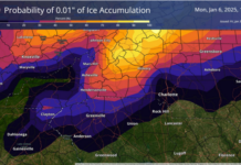
A wintry start to 2025 is well underway with some cold air and our first risk for widespread wintry weather of the season.
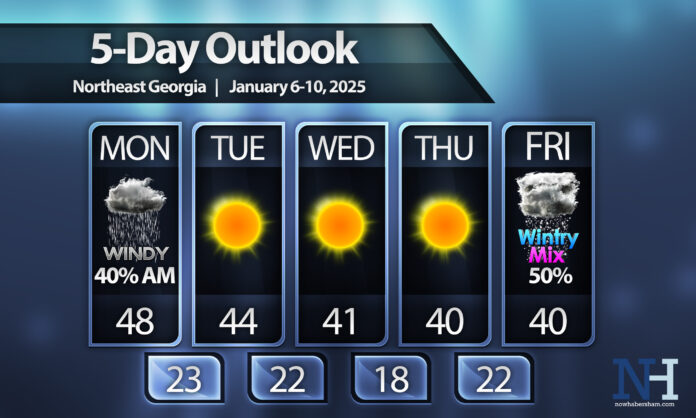
We’ll start the week off with everyone’s favorite: cold rain. Monday morning will be quite miserable with showers lingering through lunch and temperatures hanging in the 40s. After lunch we will see clearing behind a strong cold front and winds will turn very gusty. Highs will likely occur earlier in the day with temperatures falling behind the front as well. Winds will gust from the NW at 25-35MPH with isolated gusts of 40-45MPH possible, particularly in the mountains.
We’ll turn sunny but very chilly through mid-week with highs only in the 40s and widespread 20s at night .We will likely dip into the upper-10s by Thursday morning as the heart of the cold air settles in. Mountain areas could see single digits as well.
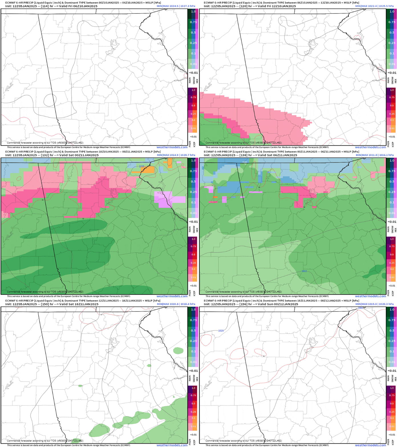
By Friday things get really, really interesting. An approaching area of low pressure will spread widespread precipitation over the area. This could result in a wintry mix or snow across much of the region by Friday evening. This is still 5 days out so a lot can and will change, but you can see the latest version of the Euro model that shows this widespread wintry mix.

Stay with Now Habersham for the latest and look for a more detailed post tomorrow as we get inside 5 days til the storm.
Have a great week!


