We’ve just gotten through the first major storm system of the week and now it is time to gear up for the second.
Another round of heavy rain, this time with the potential for strong storms, is expected to impact North Georgia this weekend.
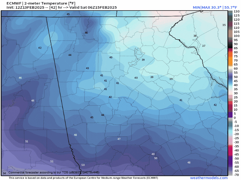
After a dry Friday, conditions will go downhill on Saturday as yet another strong wedge of cold air builds in from the northeast. This will keep high temperatures down into the 40s with scattered showers, fog and at times a brisk east breeze.
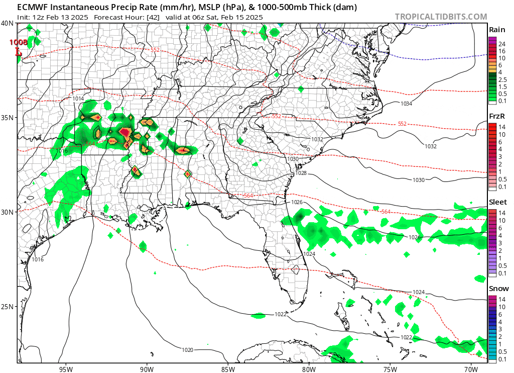
A line of showers and storms is expected to develop well to our west over Texas/Louisiana and push to the east through Saturday afternoon into Sunday morning. This line of showers and storms is currently expected to arrive in North Georgia during the wee hours of Sunday morning, probably sometime from 2-8 a.m. You can see the Euro model below showing both the wedge and eventual line of storms.
Fortunately for us, this means the chances of strong to severe storms will be limited by a lack of daytime heating, in addition to the wedge of cold air sticking around. The animation below shows temperatures throughout the day on Saturday and into the night. The wedge will gradually break down from south to north, but locally this won’t happen until very close to the arrival time of the storm if at all. This means very limited time for the atmosphere to destabilize, limiting storm potential.
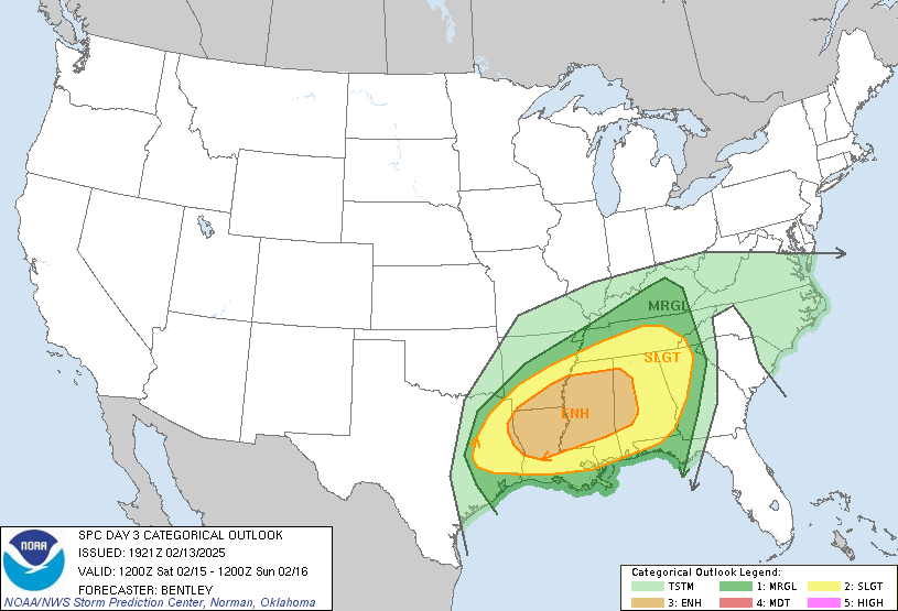
Even so, the Storm Prediction Center has much of North Georgia under a slight risk (level 2/5) for strong to severe storms. There will be very strong low-level winds associated with this system and it won’t take much instability to bring them to the surface. We saw a similar event just after Christmas last year.
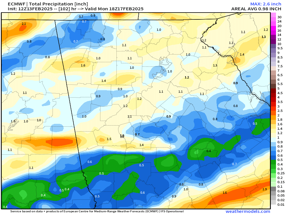
We will see another flooding risk with this storm as well. Rainfall totals of generally 1-2″ are expected, fortunately this will be a very quick hitting system with the heavy rain not lasting nearly as long as it did on Wednesday night.
Stay with Now Habersham for the latest on this storm potential.


