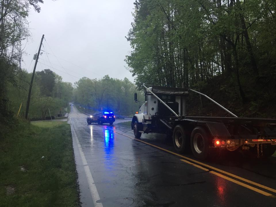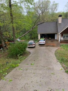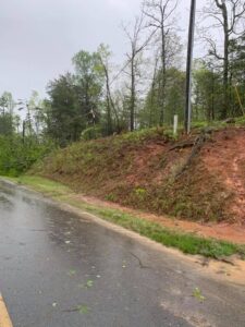
The storm system that blew through Habersham early Friday sheared tree tops and scattered along Heads Ferry Road in Cornelia. (photo/Jennifer Rinefierd)

Tornado sirens woke up people across Habersham this morning. Others were awakened by alerts on their cell phones and weather radios. Emergency commands to “Take shelter now” made for a rude awakening on this Good Friday.
Haleigh Bridges lives off Camp Creek Road. In a comment on Now Habersham’s Facebook page she writes, “It was terrifying.” Bridges says she and her son stayed in the bathroom with pillows until the warning expired at 6:30 a.m.
Others spoke of hearing sirens in Baldwin and Clarkesville. Some were concerned because they didn’t hear sirens. Others said the sirens weren’t loud enough to wake them.
Laura Lee and her family live near Hollywood. She says alerts on their cellphones woke them up as the storm passed through.
Christina Brown lives just outside of Clarkesville. “My nerves are definitely shot today,” she writes, “…kept thinking ‘I’m gonna die on my birthday’ not cool.”
No touchdown
The storm system moved in from the south and passed through several counties before reaching Habersham. It swept through Fulton, Gwinnett, Hall, and White as it wound its way toward Habersham and Rabun.
The rain and darkness made it difficult to confirm whether there was an actual tornado. “We did not have a touchdown but did have rotation,” says Habersham County E-911 Director Lynn Smith. “We are still checking different areas to make sure everything is clear.”
As dawn broke, people in Habersham began reporting downed trees and power lines across the county. A tree fell on several houses off Heads Ferry Road in Cornelia and several downed trees blocked the roadway. Traffic on Habersham Mill Road was blocked at the bridge due to downed power lines. There were also reports of multiple trees and power poles down off of Water Wheel Court and Chattahoochee Way south of Duncan Bridge Road off of Pea Ridge.
By Friday evening, Habersham EMC was still working to restore power to several hundred customers in its service area. Most of those outages were in Habersham. Georgia Power, too, reported minor, scattered outages in north Georgia with more severe, widespread outages in the metro Atlanta area.
A rollercoaster ride

Storms continued to rumble through Georgia throughout the day Friday. The National Weather Service issued a Flash Flood Warning for Habersham and Rabun counties until 6:30 p.m. then extended it until 12:15 a.m. Saturday.
With the severe storms and heavy rain finally moving out of the area, all eyes now turn towards the next big weather event across the region.
RELATED: High elevation snow possible early Saturday
Overnight temperatures are expected to drop into the 40’s and 30’s, particularly at the higher elevations. The low temps mixed with early Saturday morning precipitation could produce snow in the higher elevations of north Georgia. Elevations of 3000ft of higher could pick up a dusting, with maybe an inch of snow falling around Brasstown Bald/Rabun Bald.
Last updated 4/19/19@8:25pm


