
An organized area of showers and storms is expected to impact the area in the form of an MCS, or mesoscale convective system, on Friday. These types of thunderstorm complexes are common this time of year, and we have seen several already. The upcoming pattern will be very conductive for these through Friday and Saturday. The Storm Prediction Center has included the region in a severe risk on both Friday and Saturday, with a large slight risk (level 2/5) covering most of the region Friday and all on Saturday. The main threat with these storms will be damaging winds, with some quarter size hail also possible. While not zero, the risk of a tornado is very, very low.
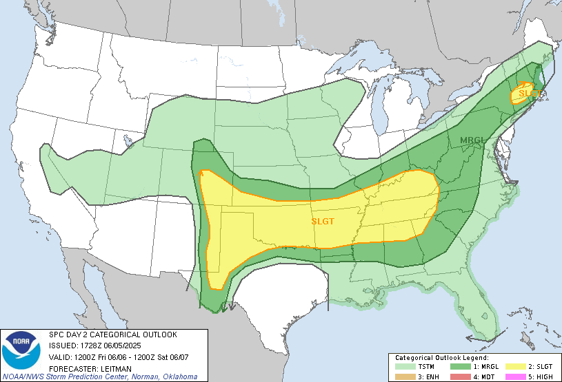
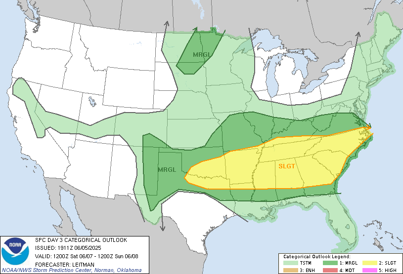
Timing and specifics are still very much up in the air. With the extreme unpredictable nature of these storm complexes, even the higher resolution models can struggle at times. Currently, the first line is expected to move through between 5-9PM on Friday, with another around the same time on Saturday.
Stay weather aware!


