I first set foot on the Blue Ridge Parkway back in March 2015. I was just out of college and beginning to really get into photography, an addition to my already well-formed love for hiking. Over the course of the next 7 years, I would spend many days on this famous roadway. I have seen it in all forms of weather from snow to sunshine to pea soup fog and rain. There was only one thing that I hadn’t quite done, and that was see all of it. I was still missing “the other end”, as I affectionately referred to it to my wife.
The farthest north I had ever traveled was somewhere near Natural Bridge, VA, north of Roanoke. I made a trip up there once back in 2018 but hadn’t been back since then. On that trip, I made it to around mile marker 45-50 of the 469-mile-long road. Mile 0 is located near Charlottesville, VA around an 8-hour drive from our spot here in North Georgia.
Luckily, I had time on my recent trip to West Virginia to make the 2-hour drive from the New River Gorge to the Parkway entrance and finally check an item off my bucket list.
I got on the Parkway around lunchtime this day, entering the northern terminus where the BRP turns into Skyline Drive and continues on another 100 miles through Shenandoah National Park. I didn’t visit the National Park this trip but I plan to spend a few days there hopefully sometime next year.
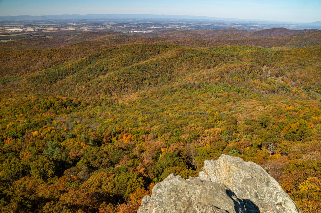
The first major spot you come to is Humpback Rocks. The hike to the top is very difficult, a 700ft gain in less than one mile, but the views from the top are unrivaled in this area.
You look north into Shenandoah, west into the valley, and east towards the coast, all unobstructed views. I found the rocks up top to be quite slippery compared to most rock outcrops I visit, though, so be careful.
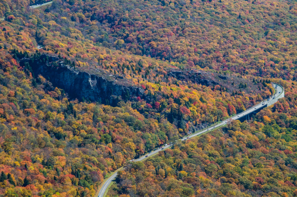
Beyond that, the parkway winds through the central Appalachians of rural Virginia. There are plenty of overlooks to view, including 20-minute cliffs way up at MP19. I was there during the late afternoon which made getting really good photographs hard in the bright sunlight, but the views to the naked eye were spectacular.
I was a little early for leaves overall in this part of the country, but there were some sections that were lit up beautifully, mostly thanks to the sub-freezing temperatures we had seen the previous two days.
Just a few miles north at MP34 you will find the Yankee Horse Overlook. This isn’t an overlook of a view, but rather a short hike to Wigwam Falls and, more importantly to me, railroad tracks. The tracks are not original but were reconstructed on an old railroad bed as a reminder of the many logging trains that used to run the mountains. I arrived perfectly timed to catch the sun breaking in-between the leaves.
Between here and MP85 I didn’t take a ton of photographs. The parkway gradually works downhill to the James River and I was in a hurry to get to my sunset location: the Peaks of Otter. This was where I had stayed on my previous trip north in 2018, and making it here meant I had completed the entire parkway. The sunset was a bit of a wash, with no clouds and an uncooperative camera lens that wanted to flare more than usual due to the very bright sunlight.
With one more item ticked off my bucket list, I made the long trek back to my campsite for the night. The following day, I began my journey home. More on that next week.
Have a great week! I’ll see you on the trail…..

