It’s a wonderful time of year for hiking at the higher elevations. The late summer air is often quite cool and refreshing, even in the high humidity airmasses we usually see. Back in 2015, I wrote this article on Preacher’s Rock. It is a favorite of mine this time of the year. Enjoy!
Located roughly 1.5 miles from Woody Gap up the great Appalachian Trail (AT) lies an exposed rock with an incredible view. This rock goes by many names but most of the locals know it as “Preacher’s Rock”. It overlooks the valley that runs below Big Cedar Mountain towards the east/southeast. It is a fairly highly trafficked area, especially on exceptionally hot days in the summer thanks in part to it’s cooler 3500ft elevation temperatures.
When you first arrive at Woody Gap there is ample parking where the AT crosses Highway 60 just 2 miles south of Suches. Park on the right side of the road across from the Woody Gap sign. An excellent view is available from the parking area on the left for those who don’t wish to hike to the rock.
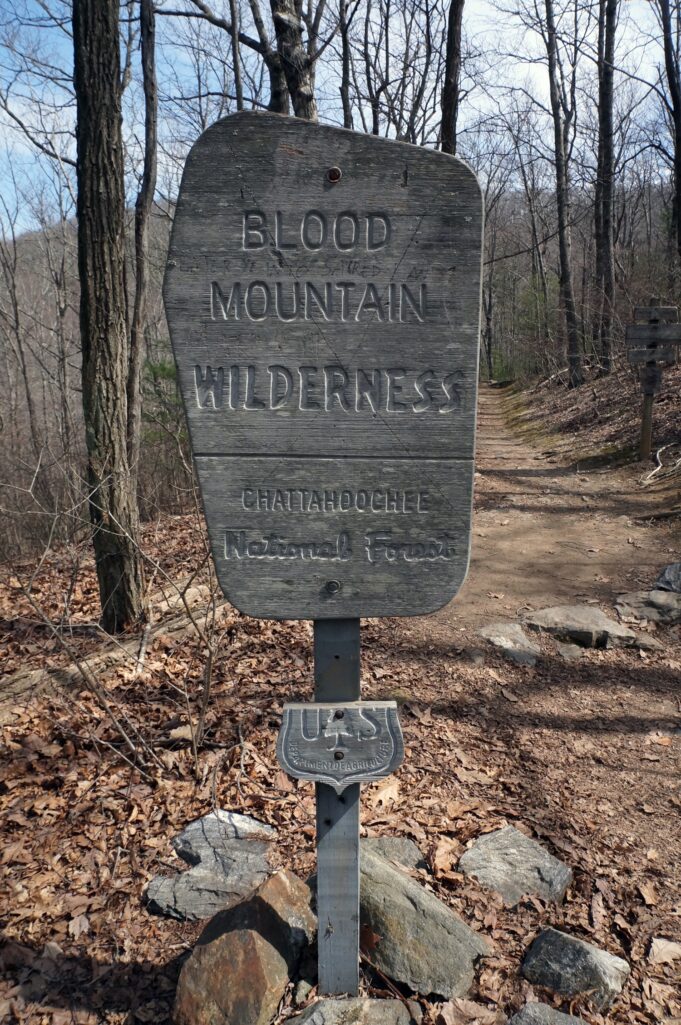
Once you start up the trail, you will see a sign alerting you that you are entering the Blood Mountain Wilderness.
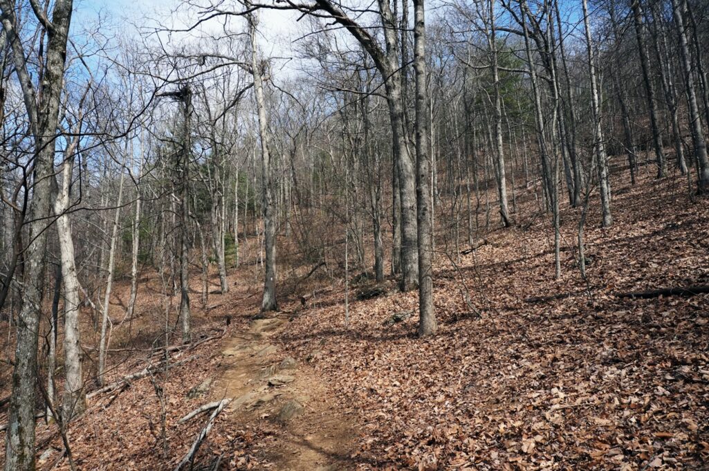
For the first 3/4 miles, the trail is relatively flat and easy going. It winds through numerous hollows that were carved out by ancient streams and runoff.
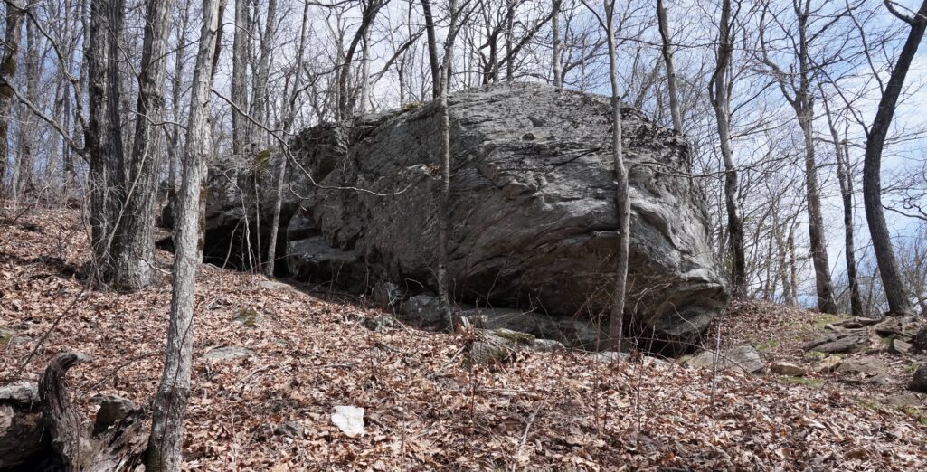
After the 3/4 mile mark, the trail turns hard right and heads up Big Cedar Mountain through a series of switchbacks. The grade gets steep in spots, but the trip up the mountain is fairly short with several places with good views, including one exposed rock you can climb onto. Also, along the trail are several large boulders that the more adventurous can climb.
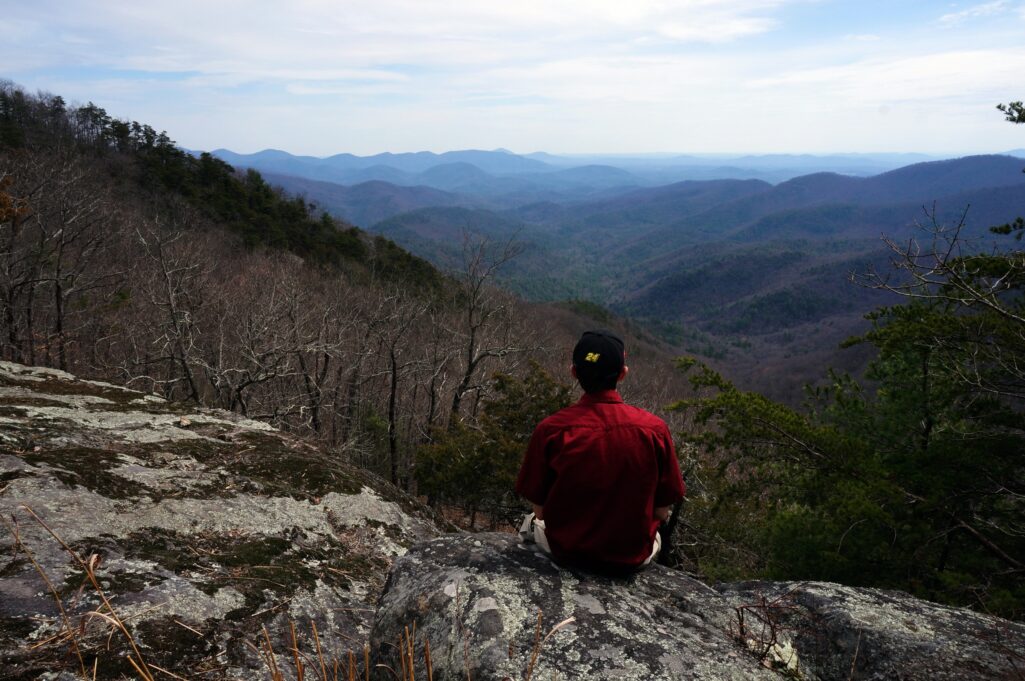
After a quick 1.25 mile hike the trail goes from fully wooded straight out onto Preacher’s Rock. It also goes by Pulpit Rock, so named because it would make an excellent place for a sermon to be delivered to those in the valley below.
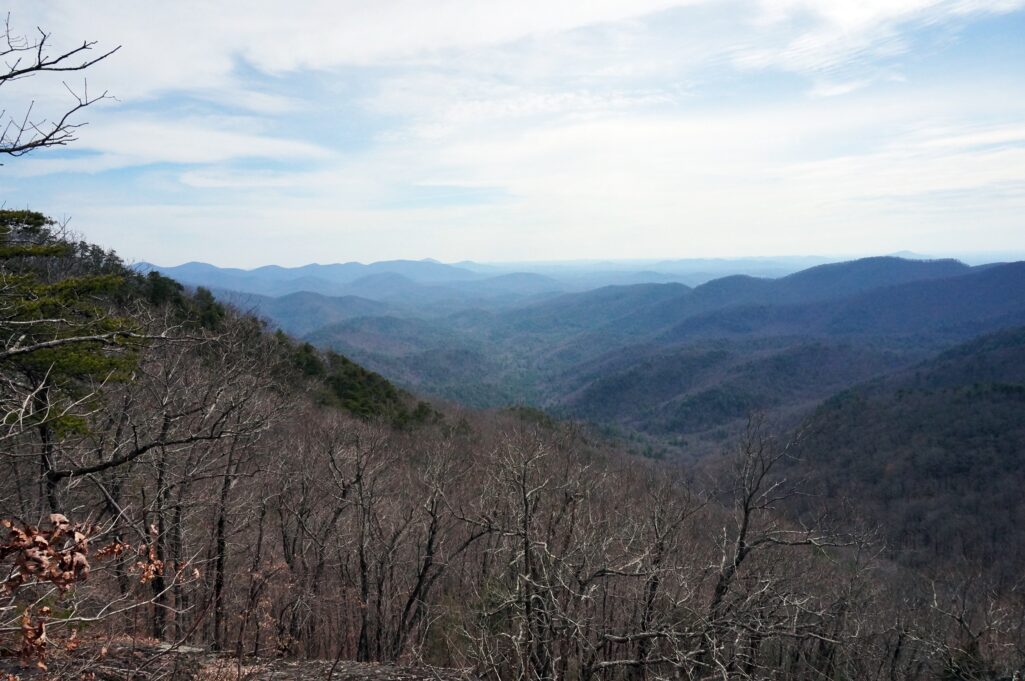
This picture was taken on March 18. It showcases the haze so often associated with the Smoky Mountains. On a clear day, the Atlanta skyline is visible from roughly 20 feet down the rock looking to the right and Habersham County lies beyond Mount Yonah towards the left of this shot.
This panorama shows the scope of the view, including the rock on the bottom right. 
If you are adventurous, you can wander down the face of the rock to the next ledge where great photo ops await. But, beware of the steep grade and don’t fall down the face.
This is a gorgeous area to visit no matter the season.
I’ve hiked to this spot too many times to count during the past couple of years. It’s a wonderful place to sit down and relax in the sun while getting some one-on-one time with the Creator of it all.
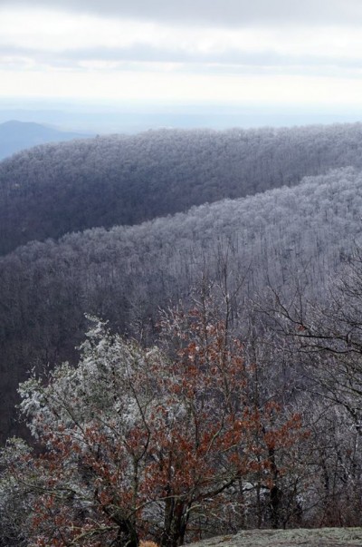
Driving directions: From Clakesville, take 115 West all the way into Dahlonega. Turn right onto Hwy 60 and you will pass the reservoir on the left. Continue straight and bear left onto Hwy 60 when you come to the rock pile. Continue up the mountain to the Appalachian Trail crossing sign and park in the lot on the right. The trail is open and accessible year round (except after an ice storm, when it is open but questionably accessible).
Overall, this is a great trail for families – even younger children – and I highly recommend it. While you are there you can also swing by Dockery Lake, but I’ll save that for a later post.
See you on the trail….

