I’m living with a busted laptop screen this week so the difficulty of writing something new is quite high. That said, we’re going to throw it back to one of my favorite hikes here in North Georgia: Blood Mountain. This is a great hike any time of year, including during the winter months when your chances of catching the Atlanta skyline are the highest. I’ll be back next weekend with something new but for now, enjoy this trip report from May of 2015. Looking back at these old posts reminds me of how far I’ve come with my photography.
May 7, 2015
The Appalachian Trail is one of the most popular hiking destinations in the state and, of it’s journey through Georgia, no section is visited as much as Blood Mountain. This mountain, which may draw it’s name from a battle between the Creek and Cherokee Indians, is the highest point of the AT in Georgia topping out at 4,459ft. It is a fairly strenuous hike roughly 4 miles round trip from Neels Gap which features many stunning views of the surrounding areas.
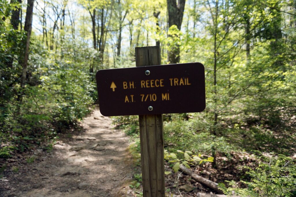
The trailhead is located on Highway 129 just north of the Walasy-i Interpretative Center atop Neel Gap. There is ample parking but during the busy days in the summer be prepared to park on the shoulder of the road because the parking spaces fill up quickly. For day-hikers, the Bryson Reece Memorial Trail serves as the approach trail to the AT which runs to the top. It begins at the parking lot and runs for .7 miles. It begins paralleling (and crossing) a creek before eventually turning uphill through a series of switchbacks and rock stairs.
At the end of the .7 miles the trail dead-ends into the AT (marked Freeman Trail at this point) where you should hang a right to head up the mountain.
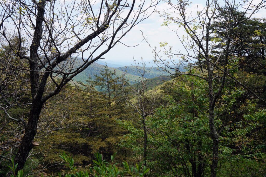
From here the trail becomes quite strenuous with numerous stone stairs and steep trail sections. There are very few switchbacks built into this section, so often you are climbing straight up the mountain. It doesn’t take long for this to pay off, though, as the view through the trees and occasional opening is well worth it.
Since the approach to the top is via the Appalachian Trail, it is very well marked with plenty of white blazing (small white rectangles painted on trees/rocks) to help keep you on track through the rockier, less obvious parts of the trail. 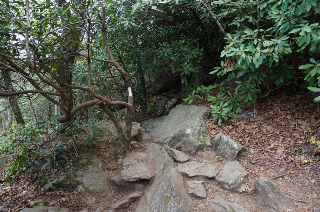
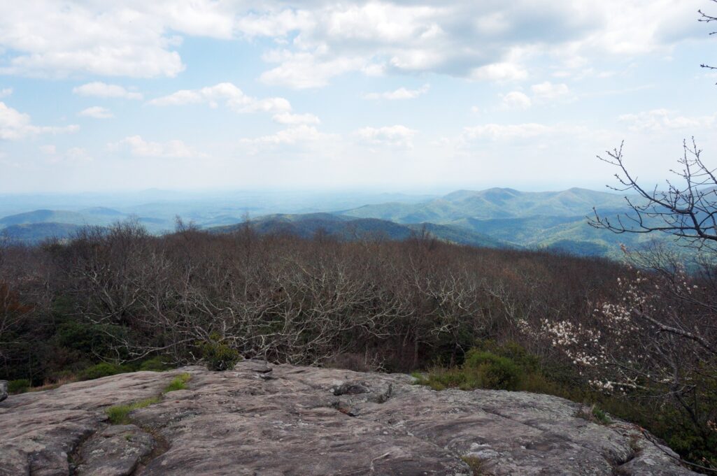
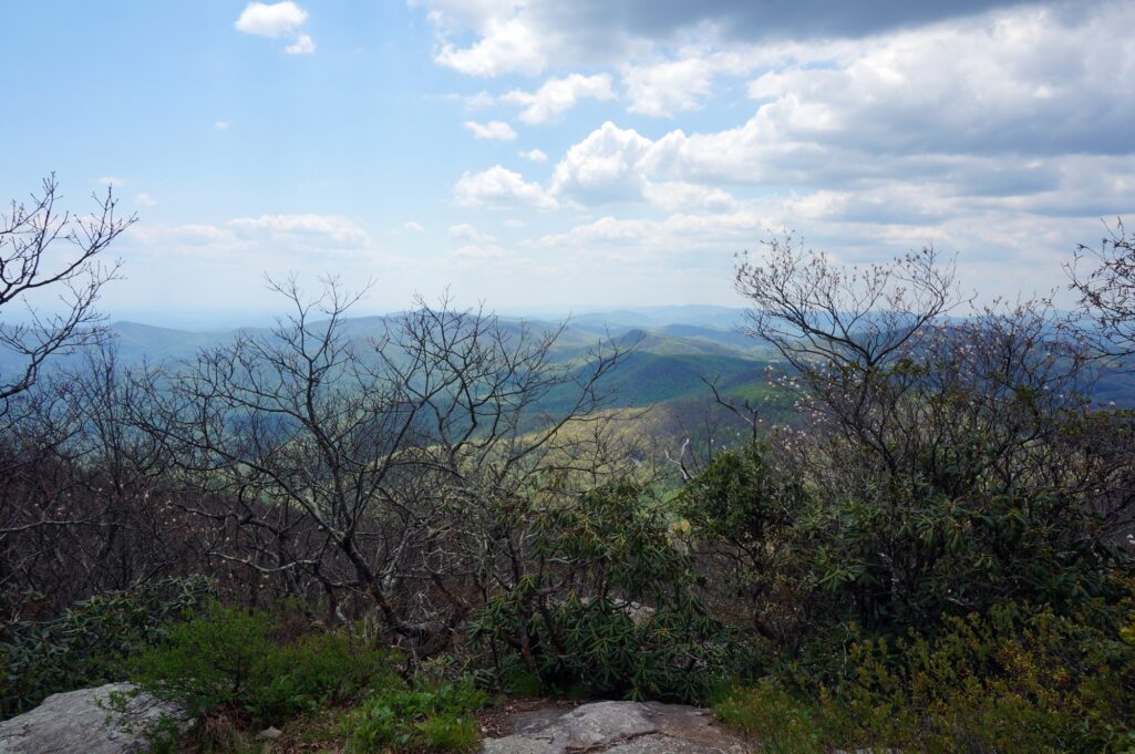
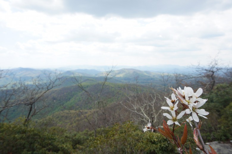
As you near the top you will notice a gradual uptick in the rockiness of the trail and a decrease in the number of large trees. About 1/4 mile from the top is a nice granite slab with a good view and a couple large rocks to climb and sit on. The really good stuff, however, awaits just up the trail. Just a couple hundred yards from the highest point is the best view. A Stone Mountain-esque granite outcropping looks out over a near 180º view from ENE to SW.
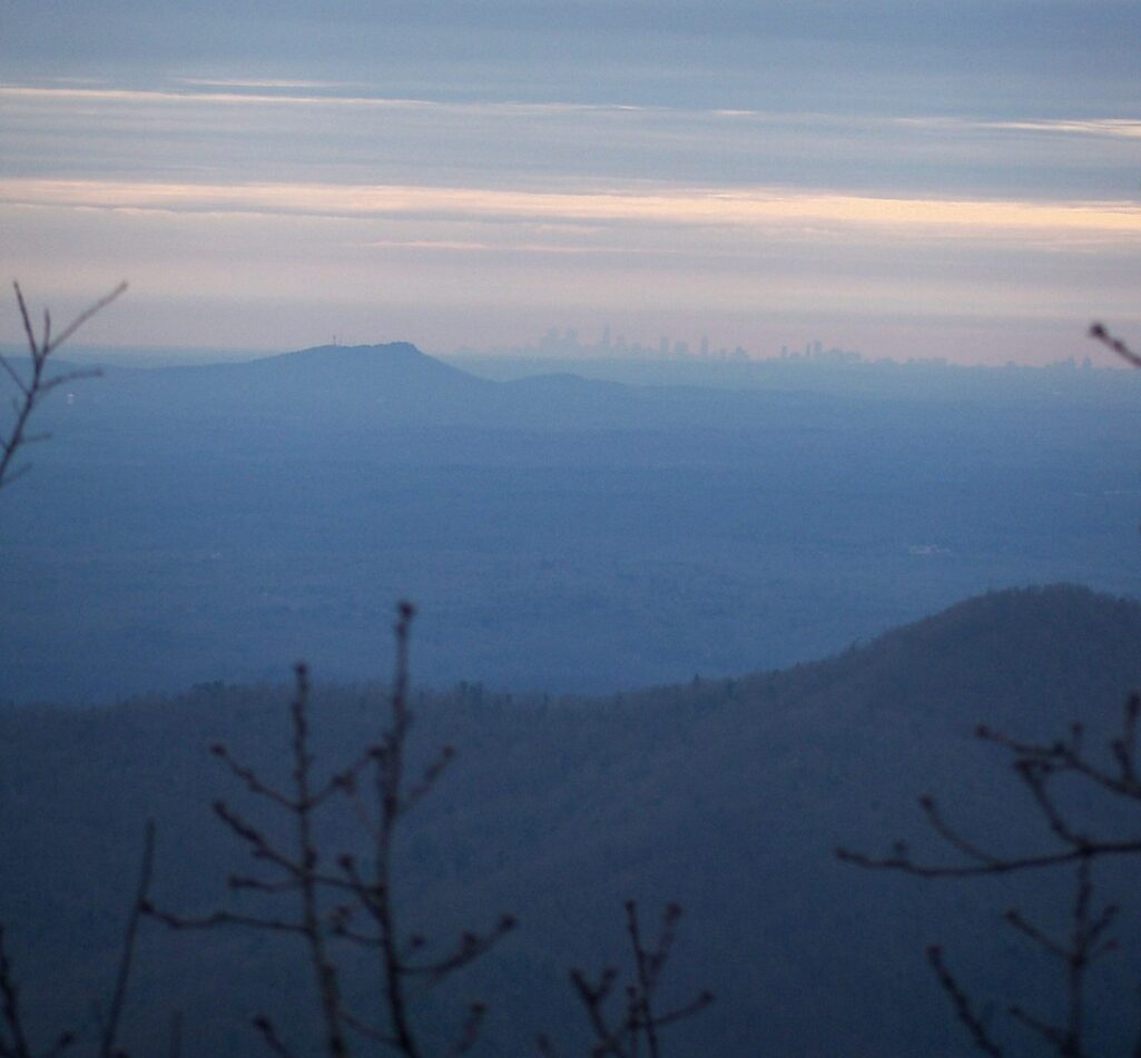
On a clear, low humidity day Stone Mountain and the skyscrapers of Atlanta are visible to the right of Mount Yonah.
From this overlook you continue up the mountain for a couple hundred yards before reaching the top. There are numerous granite openings and overlooks on the trail and combined you can see nearly every direction.
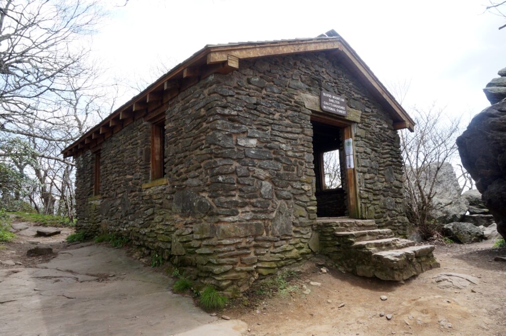
Once you reach the top, you will see the Blood Mountain Shelter, a stone shelter built by the Civilian Conservation Corps in 1934.
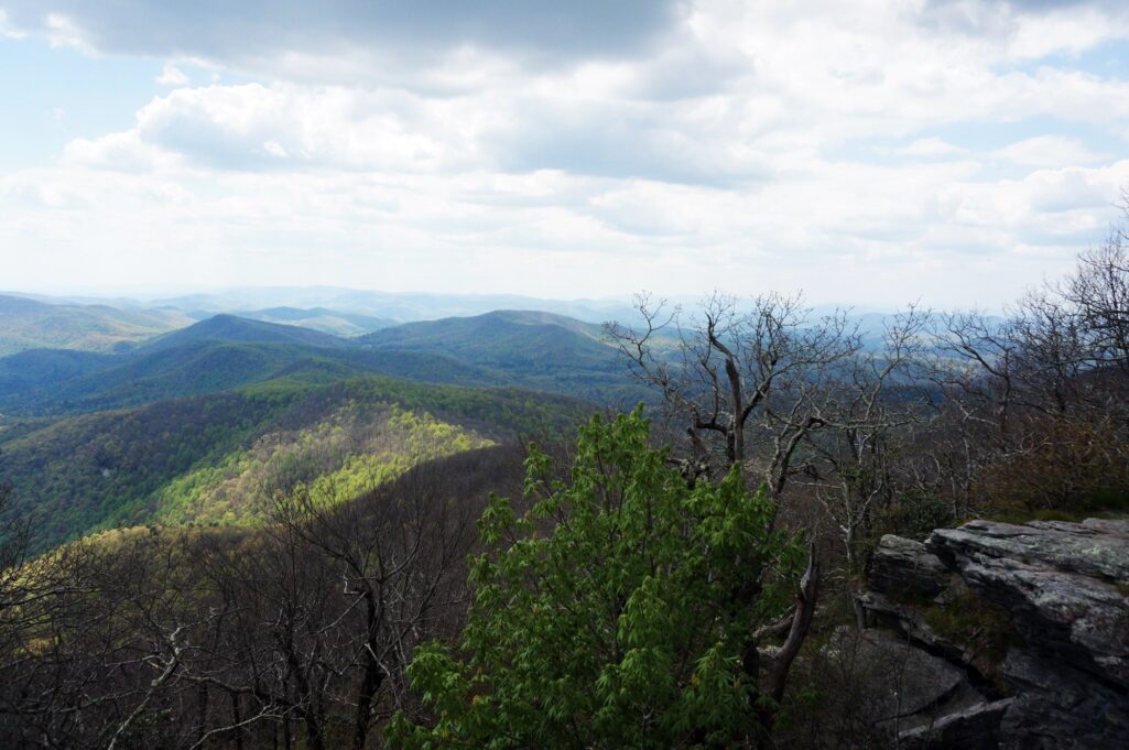
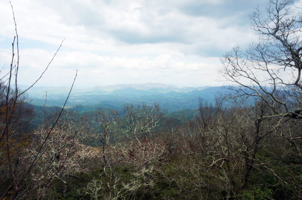
There is a large rock you can climb on to snag an awesome view to the south, as well as a great view north towards Brasstown Bald and the NC mountains.
Many wildflowers grow atop the mountain, and an abundance of mountain laurels make for beautiful scenery by late spring.
As a whole, this is a hike highly recommended for hikers of any age. The scenery is beautiful, the temperatures are comfortable even on hot summer days, and the views are fantastic!
I’ll see you on the trail ~TW

