The severe weather of last week resulted in several storm surveys across the region.
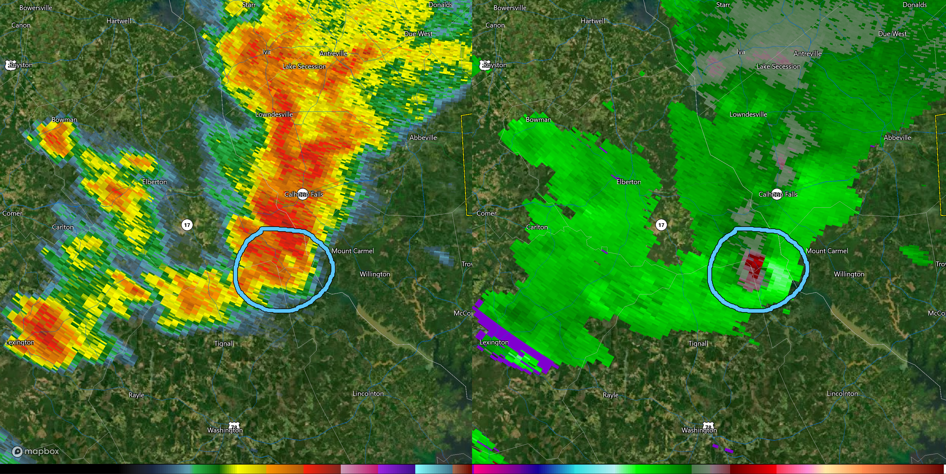
The NWS in Greenville confirmed an EF-1 tornado touched down in Bobby Brown State Park on Monday evening. The tornado touched down at 7:01PM and reached a maximum intensity of 105MPH, downing dozens of trees through the state park and also damaging some pavilions. Additional damage was noted across the SC line in McCormick County. The total path length is unknown due to lack of roads on the SC side, but the tornado traveled at least 0.96 miles and was 200 yards wide at its widest point.
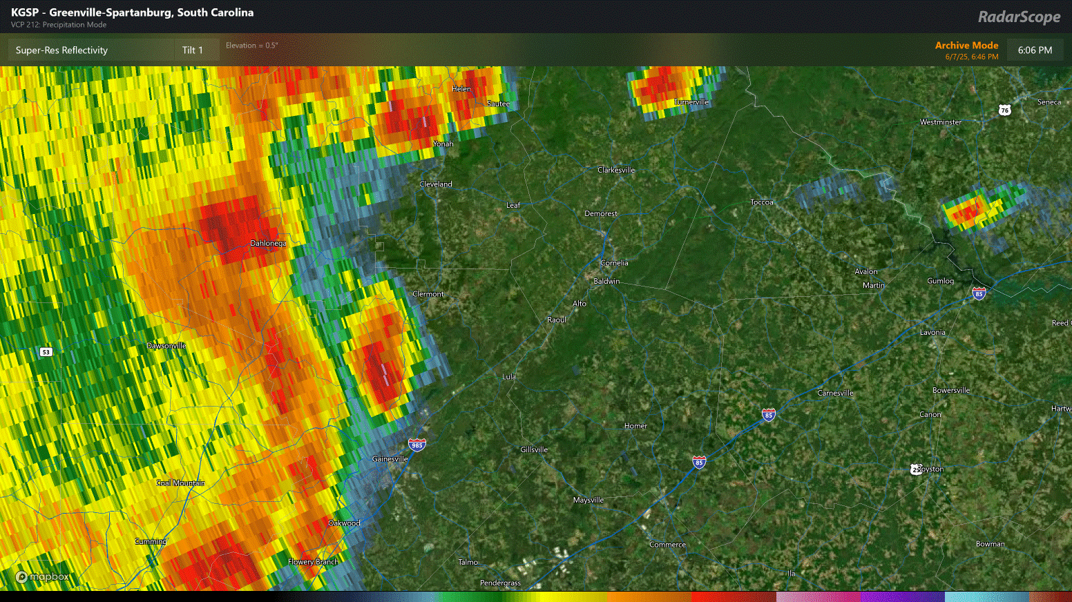
The NWS in Peachtree City confirmed an area of strong straight line winds that stretched from Dawson County into Hall and Banks Counties. A line of strong storms crossed the region Saturday evening, and widespread damage occurred in many locations. One particularly strong segment of the line produced the damage that was surveyed. Maximum estimated winds of 95MPH occurred along this line. The highest official reading came from a station in Dawson County at the Crystal Falls Lake Golf Course where a station reported a gust of 89.5MPH.
The strongest area of winds likely occurred in Dawson County along Indian Cove Drive and Longview Drive and Indian Cove Drive where numerous trees were snapped, including 2 that damaged homes.
Nearby parts of War Hill Park Road near the North Georgia Premium Outlets on GA400 sustained heavy damage with numerous trees down.
The line continued east-northeast into Hall and Banks Counties. No official survey was done, but radar and damage reports suggest this line continued to produce occasional gusts of up to 80MPH before it eventually weakened as it moved across Northern Stephens and Southern Habersham County. This line was responsible for the fatality that occurred in Banks County, as well as the damage that occurred locally along the Mud Creek Road area.