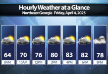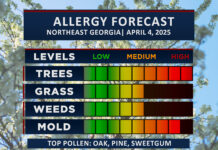
Near-record highs are expected on Friday and Saturday as a very warm airmass moves in ahead of our next major cold front.
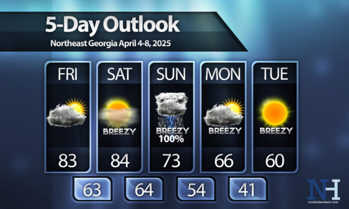
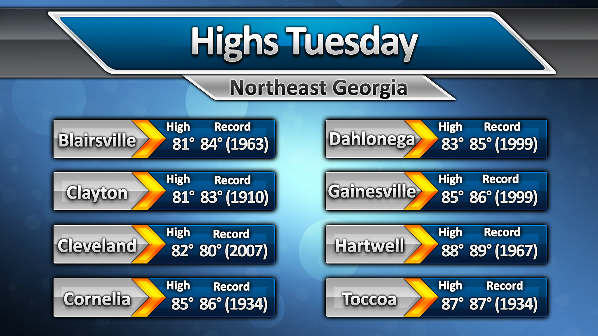
Highs will reach well into the 80s for all but the higher elevations both Friday and Saturday afternoons, this will reach into near-record territory for this time of year. We’ll remain dry with partly to mostly cloudy skies on Friday but we should see a bit more sun come Saturday.
Winds will begin to increase on Saturday ahead of the approaching front with gusts around 15-20MPH possible. These winds will continue out of the southwest through Sunday afternoon when a line of potentially strong to severe thunderstorms is expected to impact the region. These showers and storms will push through with winds shifting to continue breezy from the northwest behind the front.
A shock to the system in the form of MUCH cooler air will move into the region on Monday and Tuesday. Afternoon highs Monday will reach only the mid-60s for most, with many spots struggling to even break 60º on Tuesday. There is a risk for a frost/freeze overnight Tuesday so keep that in mind before partaking in in any outdoor gardening activities this weekend.


