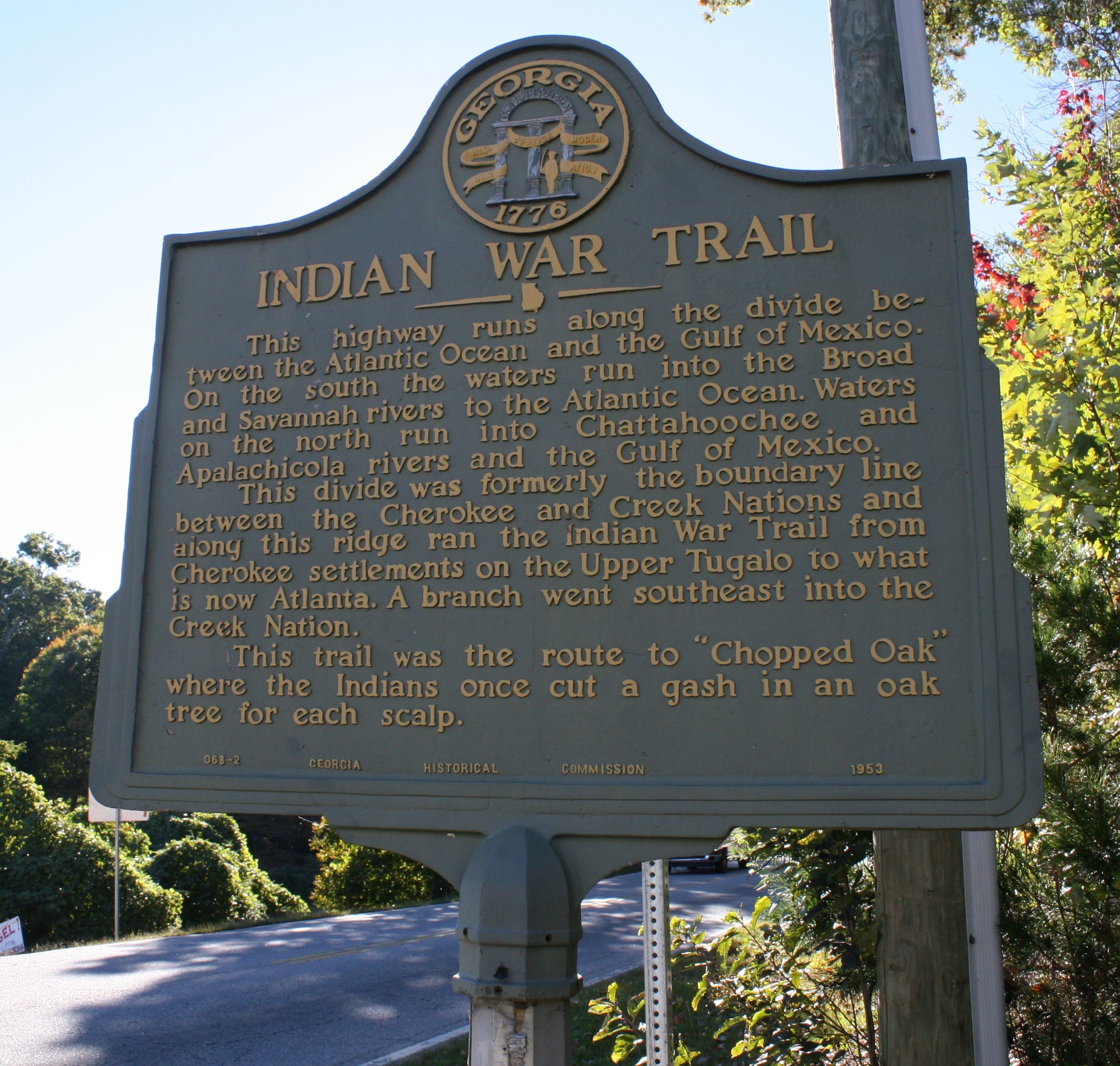
Native Americans lived in these hills long before European settlers arrived. They walked the same woods, worked the same land and raised their families here like we do. In fact, many people in our region can trace back their roots to their Indian heritage.
This is an excerpt from Georgia Genealogy Trails:
“At least three Indian trails crossed the area now occupied by Habersham County long before the county was settled by the white people. These were the Lacoda Trail, from around Augusta to the mountains which entered the county near the Hall County line and went by way of Nacoochce Valley to Batesville and to the mountains around what is now Rabun County; the Peachtree Trail, which extended from the Cherokee towns in what is now Oconee County, South Carolina, by way of where Mt. Airy, Cornelia, Baldwin, and Alto are situated now; the Unicoi Trail, which extended from the headwaters of the Savannah River across the county by way of the Chopped Oak Community and east of Clarkesville over the Unicoi Gap to the head-waters of the Tennessee River near where Hiawassee is now located.”

According to GGT, disputes over land rights in what is now known as Habersham County led to the signing of several treaties between the Cherokee Nation and State of Georgia. The Indians were gradually pushed back from white settlements until they were forced from these hills in 1838 and 1839 by President Andrew Jackson’s Indian removal policy. The Cherokee nation was forced to give up its lands east of the Mississippi River and migrate to an area in present-day Oklahoma. 4,000 Cherokee Indians died from cold, hunger and disease during their forced migration west and that is why it’s called ‘The Trail of Tears.’


