
Heavy rain is possible across North Georgia next week.
We’ve been stuck in a rut of a weather pattern this week. Although it has brought some very, very warm temperatures, we have seen no big weather systems move through. That will change beginning in just a couple days as a series of systems bring heavy rain to the region.
The futurecast below from the Euro model shows this period of rain, at times heavy, beginning late Tuesday and lasting through the first half of Thursday.
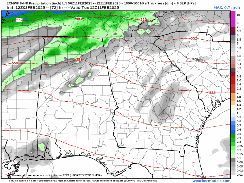
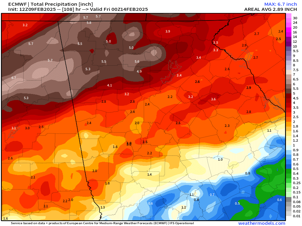
During this period, heavy rain will be possible. In general, 2-4″ of rainfall are expected across the region. The Euro is the most generous, with the latest run showing a wide swath of 3-5+”. Fortunately, it has been fairly dry despite the occasional showers, so flooding isn’t currently expected to be a huge issue. That said, some minor flooding is certainly possible in flood-prone areas. This is particularly true if the higher amounts of the Euro verify.

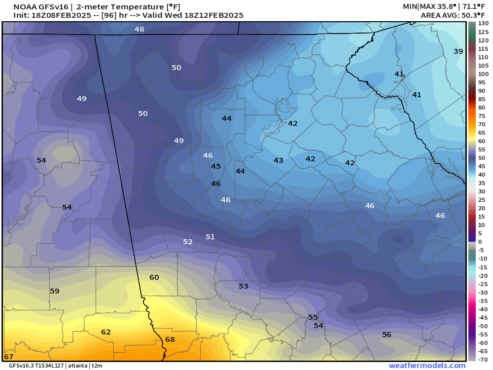
In addition to the heavy rainfall, it will be very, very chilly. This will help ensure we don’t see any severe storms but it will be quite miserable. A strong wedge of cold air is expected to build in from the northeast, stalling temperatures out in the upper-30s/low-40s on Wednesday.
Overnight into Thursday morning, we could drop as low as the mid/upper-30s, but there is no risk for any winter weather, just some very cold rain.
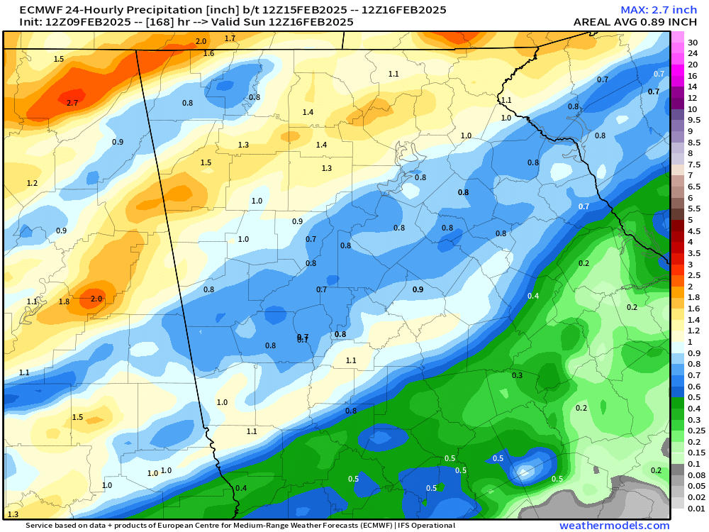
Beyond Thursday another weather system is expected by the weekend which could bring another round of rainfall, adding another 1-2″ to our weekly total.
Stay weather aware heading into next week!


