A strong cold front will bring the chance for isolated severe storms to Georgia on Sunday.
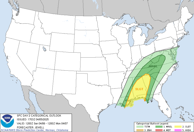
The Storm Prediction Center has placed most of North Georgia under a slight risk (level 2/5) for severe storms on Sunday.
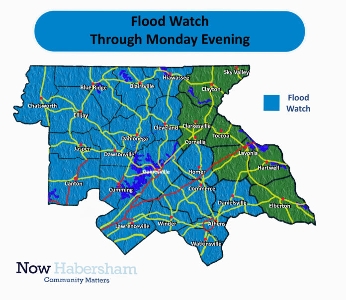
In addition, A Flood Watch is in effect from through Monday evening for Banks, Barrow, Bartow, Butts, Carroll, Catoosa, Chattooga, Chattahoochee, Cherokee, Clarke, Clayton, Cobb, Coweta, Dade, Dawson, DeKalb, Douglas, Fannin, Fayette, Floyd, Forsyth, Franklin, Gilmer, Gordon, Greene, Gwinnett, Hall, Haralson, Harris, Heard, Henry, Jackson, Jasper, Lamar, Lumpkin, Madison, Meriwether, Monroe, Morgan, Murray, Muscogee, Newton, North Fulton, Oconee, Oglethorpe, Paulding, Pickens, Pike, Polk, Putnam, Rockdale, South Fulton, Spalding, Talbot, Towns, Troup, Union, Upson, Walker, Walton, White, and Whitfield Counties.
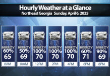
The biggest threat from any severe storms will be damaging winds and perhaps some small hail. An isolated tornado also can’t be ruled out, but would most likely be brief and weak as a spin-up along the line. The first line of storms pushed through early this morning bringing gusty winds, and another line is expected around 11AM-1PM.
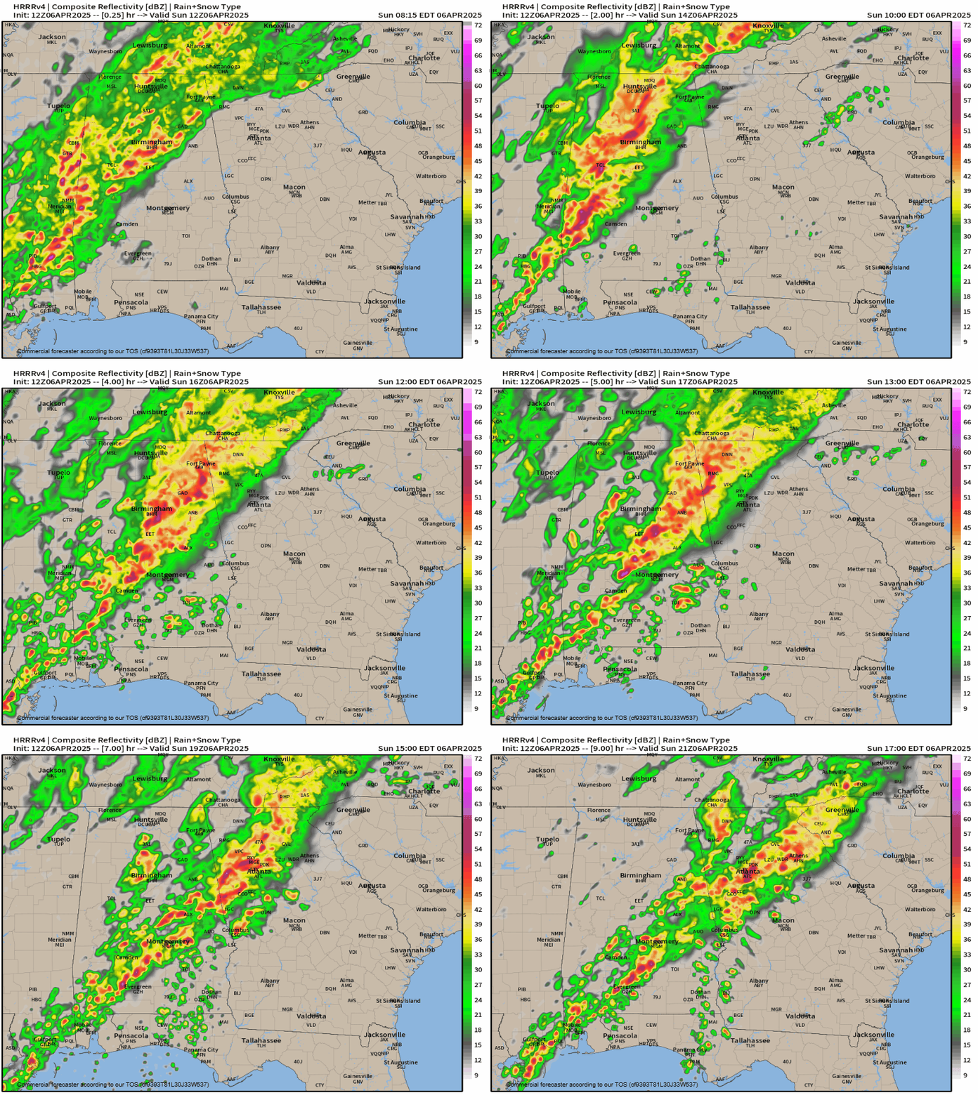
Forecast radar through 5PM SundayOnce the main line of storms pushes to our east we should see our severe chances drop to zero, but the flooding threat will just be picking up by 5PM Sunday. A widespread 2-4″ is likely across the region with isolated amounts up to 5″. Additional heavy rain is likely through the early morning hours of Monday, especially across the southeastern half of the region. 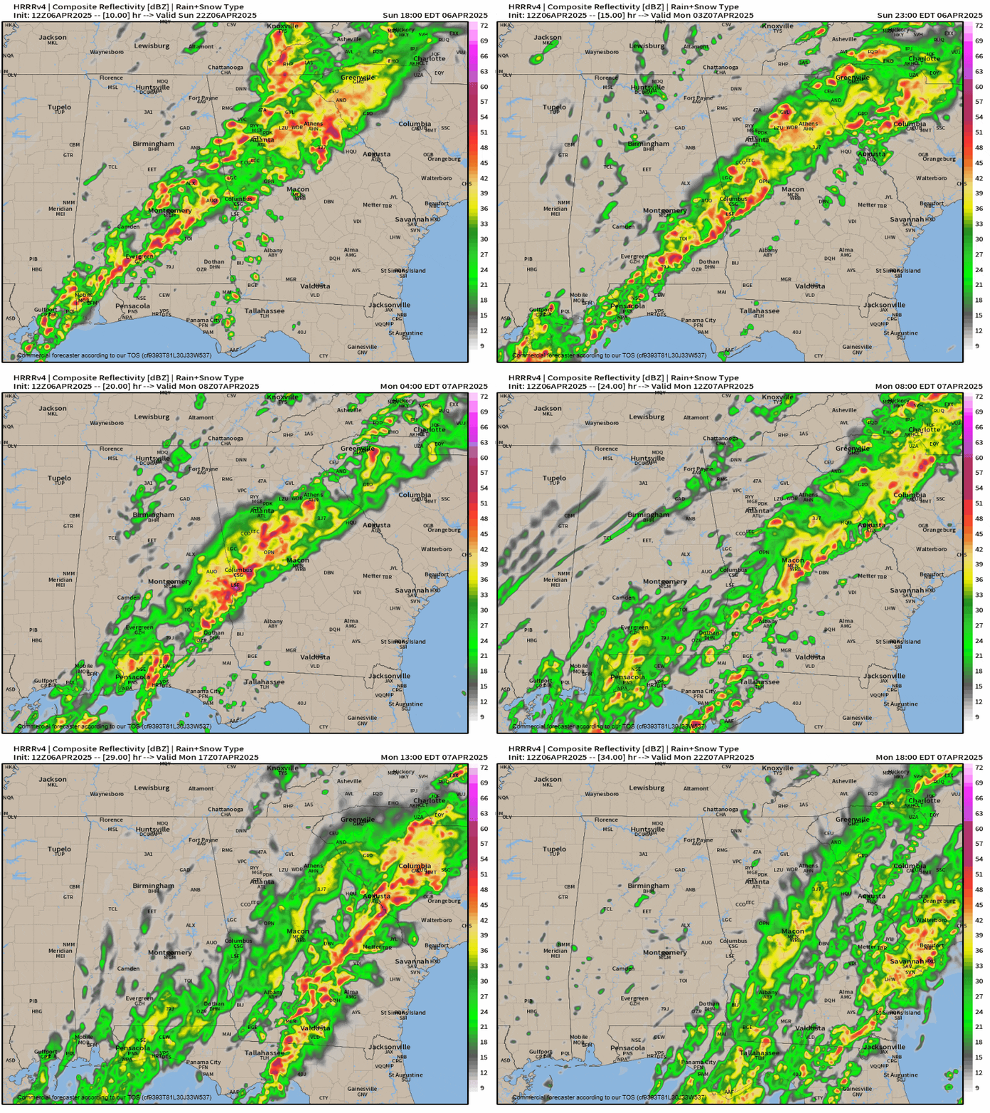
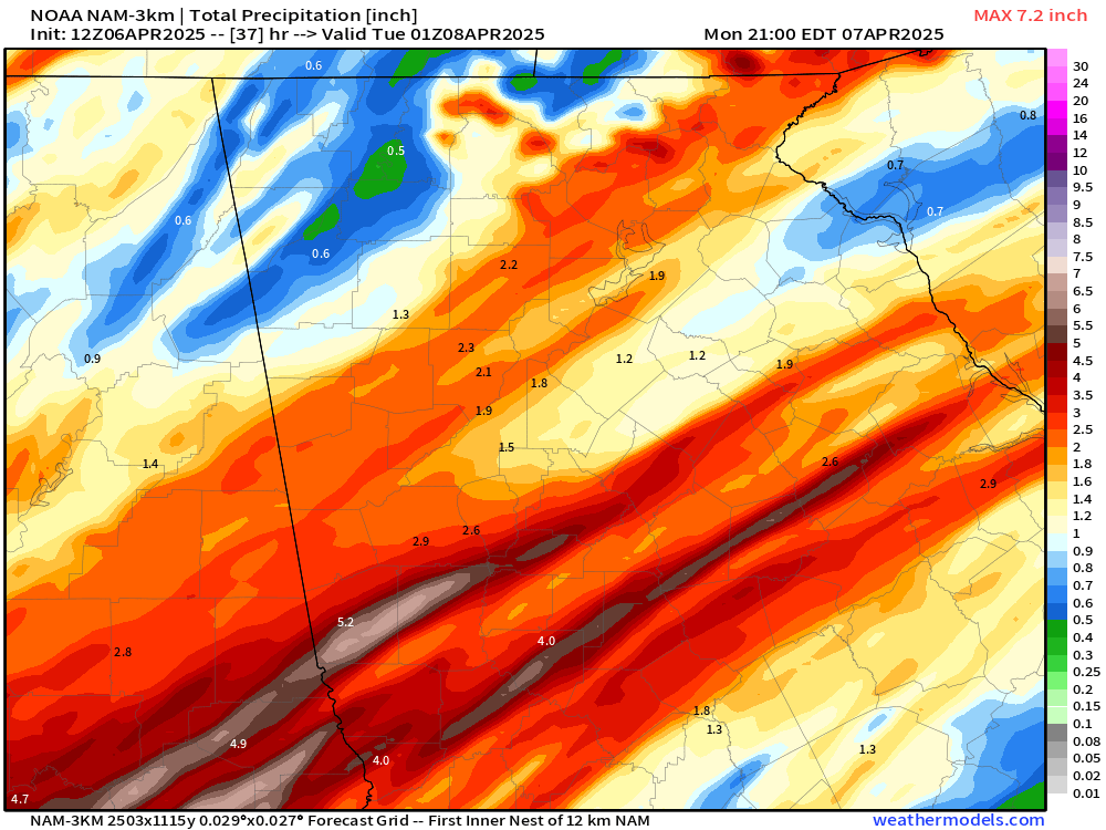
Total rainfall amounts will vary from place to place depending on who gets under the heaviest banding/training of showers. The latest guidance suggests potential for 3-5″ to fall region-wide. Isolated higher amounts of up to 5″ are possible. Models have backed off on the potential maximums across the region, but an area of heavier totals now seems likely from west central Georgia through Northeast Georgia as seen below.
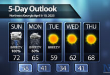
The showers will push east of the region by Monday afternoon or evening, with some significantly colder air filtering in behind. A frost/freeze is likely by Wednesday morning.


