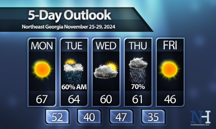
We are heading deeper into fall, and the weather pattern has finally taken a turn that looks a bit more like it should this time of year. An active pattern with consistent weather systems will stick around for this week, bringing two separate fronts through the region.
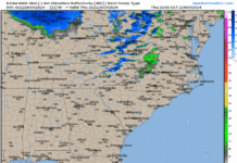
The first will swing through on Monday night. While we will warm up nicely on Monday, clouds will increase late in the day. Showers are likely overnight, with around a half-inch or less of precipitation expected.
Showers may linger through mid-morning on Tuesday before we clear out during the afternoon. This first front won’t bring any big changes to temperatures, just a small drop on Tuesday and Wednesday afternoons.
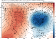
Clouds will once again increase on Wednesday ahead of our next major cold front. This front is due sometime on Thanksgiving Day and will likely bring heavier rainfall totals than we will see on Tuesday, although it is too early to guess exactly how much we will see.
There is still some spread in the models on what happens Thursday into Friday, but some showers may linger through the first part of Friday if a low develops off the Gulf Coast and pushes east, as some model runs have shown. Regardless, it will be much colder on Friday and heading into next weekend, with a hard freeze expected Friday night.


