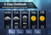
A front brought thunderstorms to the region on Wednesday afternoon and evening but after a relatively warm Thursday a cold snap moves in on Friday.
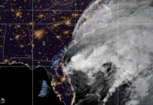
A major cold front is expected to reach North Georgia early on Friday morning. The frontal passage is expected before sunrise with winds really picking up in the wake of the front around lunch. A wave of moisture will swing in behind the front as a low pressure system develops off the east coast and pushes northeast.
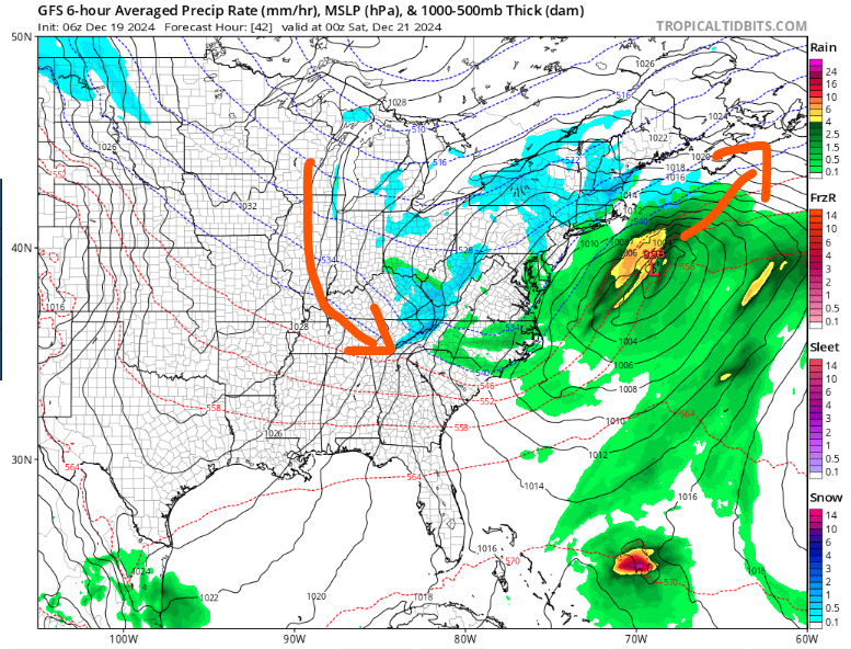
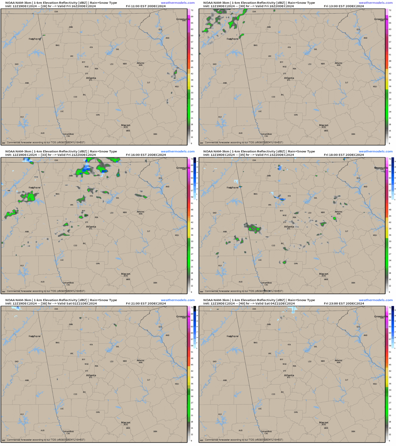
High resolution models show a band of scattered showers moving into North Georgia during the afternoon hours of Friday. While much of the region will probably be too warm for this to fall as snow, I am confident that at least the higher elevations of the mountains will see some snowflakes. Ground temperatures should ward off any accumulations, but it would be nice to see less than a week before Christmas. The most likely areas for these snow showers are over Rabun, Gilmer, Fannin, Towns and Union Counties.
Regardless of snow it will be turning much colder after the recent warm spell. Low temperatures on Saturday morning are expected to drop back below freezing for much of the area with only those along and south of the I-85/985 corridor remaining in the low-30s. High temperatures on Saturday will only reach the mid/upper-40s.
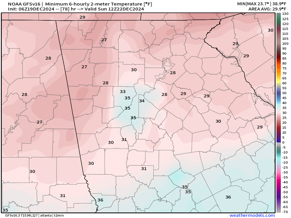
Lows on Sunday and Monday mornings will be the coldest of this cold snap with widespread mid to upper-20s expected. The higher elevations will likely dip into the teens both these mornings as well.
Highs Sunday and Monday will reach only into the low/mid-40s before we begin a warming trend.
This warming trend will take us towards Christmas Day. There is no chance for any snow this year extending our streak of no snow on Christmas to just 14 years with the last coming in 2010.
Right now, Christmas day appears that it will be dominated by a wedge of cool air from the northeast with plentiful clouds and isolated to scattered showers. Highs are expected to be in the mid/upper-40s for most of Northeast Georgia with it getting warmer the further south/west you go.
This is still 6 days away so expect it to change between now and then.


