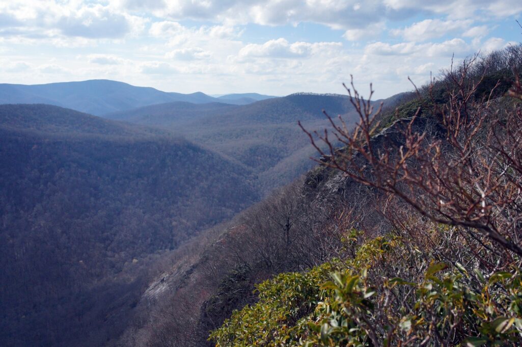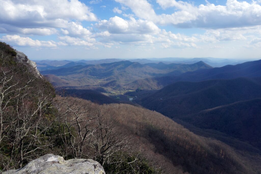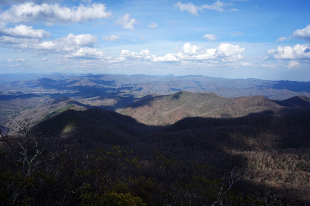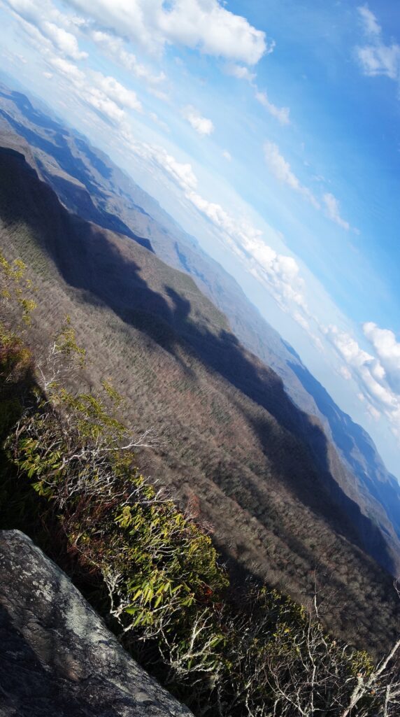
Just over the state line outside of Otto, North Carolina, lies a hidden gem among the mountains. Pickens Nose is a 20-minute hike to spectacular rock outcroppings sitting at over 4900ft of elevation. These outcroppings peer out over the Nantahala Wilderness, which in Cherokee means “land of the noon day sun”. The steep walls of the mountains block the sun from reaching the valley floors until noon, thus the Cherokee’s description. The Nantahala region is well known to hikers, kayakers, bikers and joy-riders, but this particular mountain is a bit out of the way thus making it truly a “road less traveled”.
Exactly where the name came from is a mystery, but it was almost certainly named after General Andrew Pickens who served in the Cherokee War of 1760-1761 as a general in South Carolina. His forces killed many Cherokee and burned many villages. Whether or not it was named to honor or denounce him is unknown, but the uncanny resemblance that many of the outcroppings have of a nose remains.
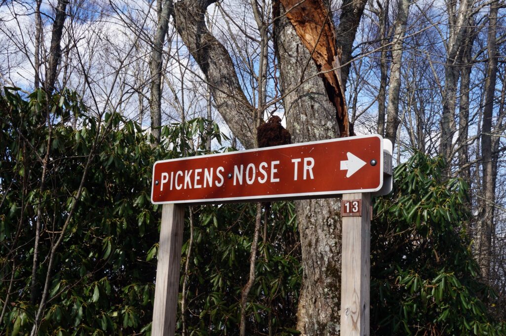
To get there, take Highway 441 towards Otto, NC, and turn left onto Coweeta Lab Road. You will see a brown Forest Service sign next to the road on 441 pointing towards the Coweeta Hydrologic Lab area. The road will fork at the Forestry Service building, where you should bear left and continue onto Ball Creek Road. Follow Ball Creek until the road once again forks, where you should turn right and go uphill. You will reach a small parking area at the top of the road with a sign pointing left marked “Pickens Nose Tr”.
I should stop here and preface this with two things. First, watch for black bears while hiking. The Nantahala Wilderness is a big bear sanctuary and they are fairly common though they rarely bother people. Second, I don’t recommend this trail for small children (i.e. younger than 5 or 6) due to the numerous cliffs and rock faces towards the top. If you do take your children with you, be sure to watch them extremely closely.
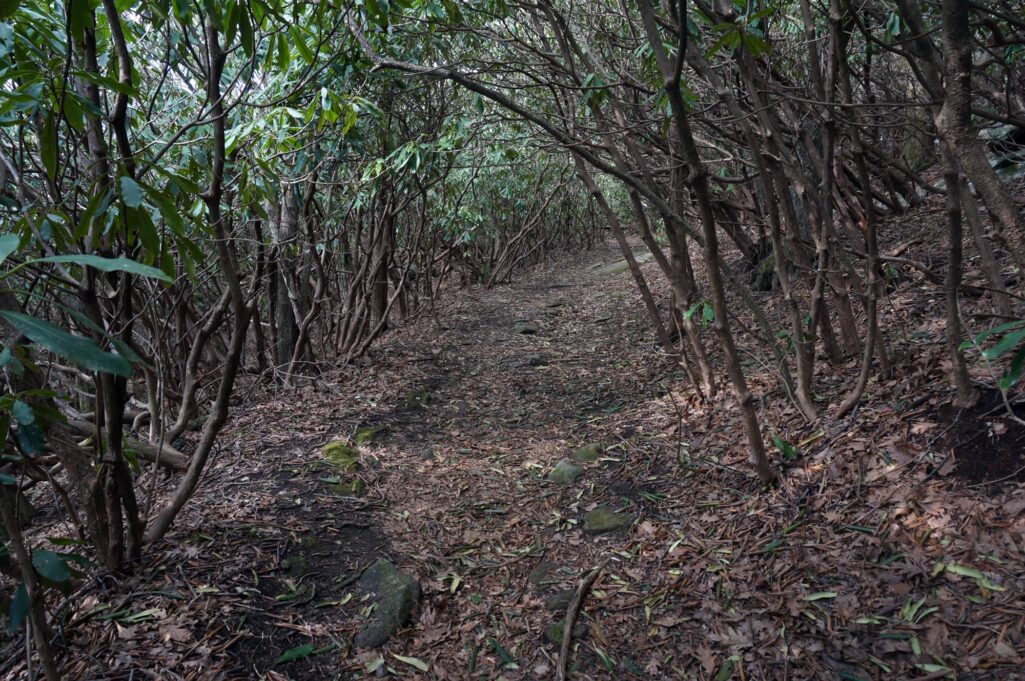
From here, park and begin the roughly 20-30 minute hike (less if you are in particularly good shape) to the top of the ridge. The entire hike sits above 4500 feet, and you will reach just over the 4900ft mark by the top (higher than the highest point in Georgia), so be prepared for relatively cooler air. The trail is easygoing and consists almost entirely of one long rhododendron tunnel. This makes for a beautiful hike when the rhodos bloom in June.
As you near the top, you will see several side-trails which lead to beautiful outcroppings with great views, but I’ll cover a couple of them in a moment.
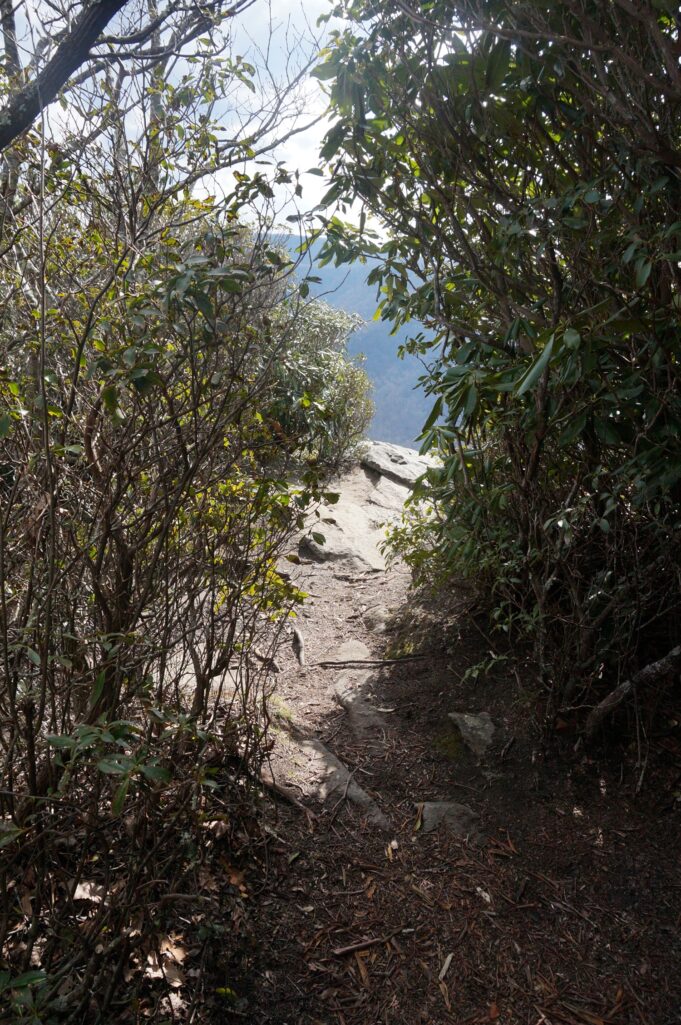
The trail suddenly narrows significantly once you reach the top, and you will turn hard right. At this point, watch your step because the trail ends some 15 feet ahead as a sheer drop off a rock cliff.
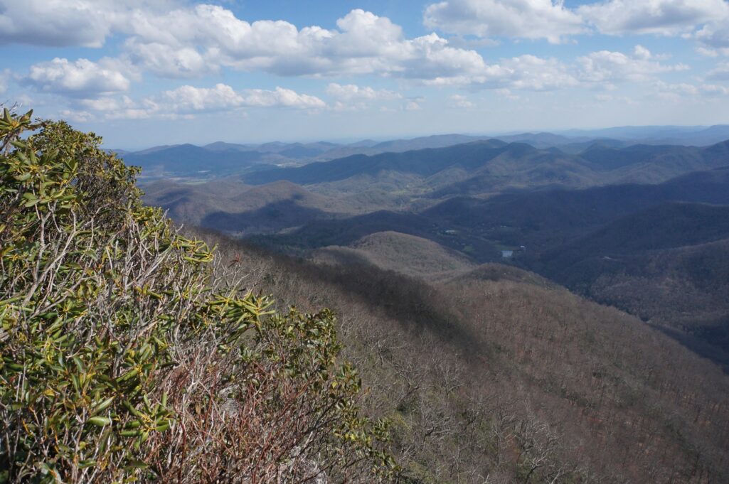
You can walk out onto the rock for fantastic views of the Nantahala Wilderness to the south/southeast, and to some extent the SW.
Once you have had your fill of this view you can start back towards the entrance, and take the first side-trail you come to. This will lead to the most popular outcropping which resembles a Lion King-esque pride rock overlook. This looks out over essentially the same areas as before just from a slightly different perspective. 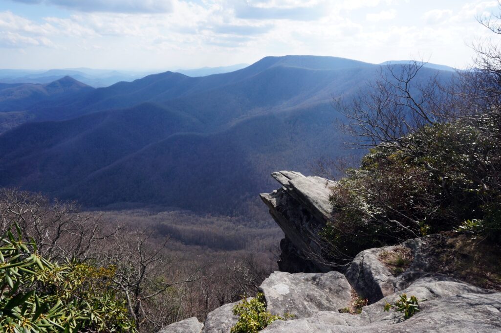
If you are particularly adventurous, you can follow a narrow trail over to the outcrop and enjoy the view of a lifetime.
If you look closely, you can even see what seems to be a face with a “nose” on it to the left.
Once you have had your fill, get back on the main trail and go down to the next side-trail (on the right) which will take you onto my personal favorite view. Once again, be careful as you don’t want to fall down the rock face.
In the distance a particular mountain stands out against the rest: Whitesides. This mountain is a mere 17 miles distant and has a very peculiar “table” shape when viewed from this angle. I’ll be covering it in a later RLT, though.
Once you have had your fill of the views atop Pickens Nose, a quick hike back to the bottom down the same trail will offer no surprises. Be on the lookout for black bears, however, as this is a North Carolina bear sanctuary and there are plenty of them around.
If you are interested, the surrounding area is chock-full of streams and creeks to see. The Coweeta Hydrologic Laboratory is located in this area, where a mere 1800 acres provides enough water for a city of 30,000. There are many small “weirs”, which are used to help measure water flow.
While you are in the area, you can make a quick stop in either Franklin or Highlands, NC for a bite to eat or something to drink.
I’ll see you on the road (or trail)…. ~TW

