

Our weather is sponsored by Division Kanga Roof. For all your residential, commercial, or emergency roofing needs, visit Division Kanga Roof.
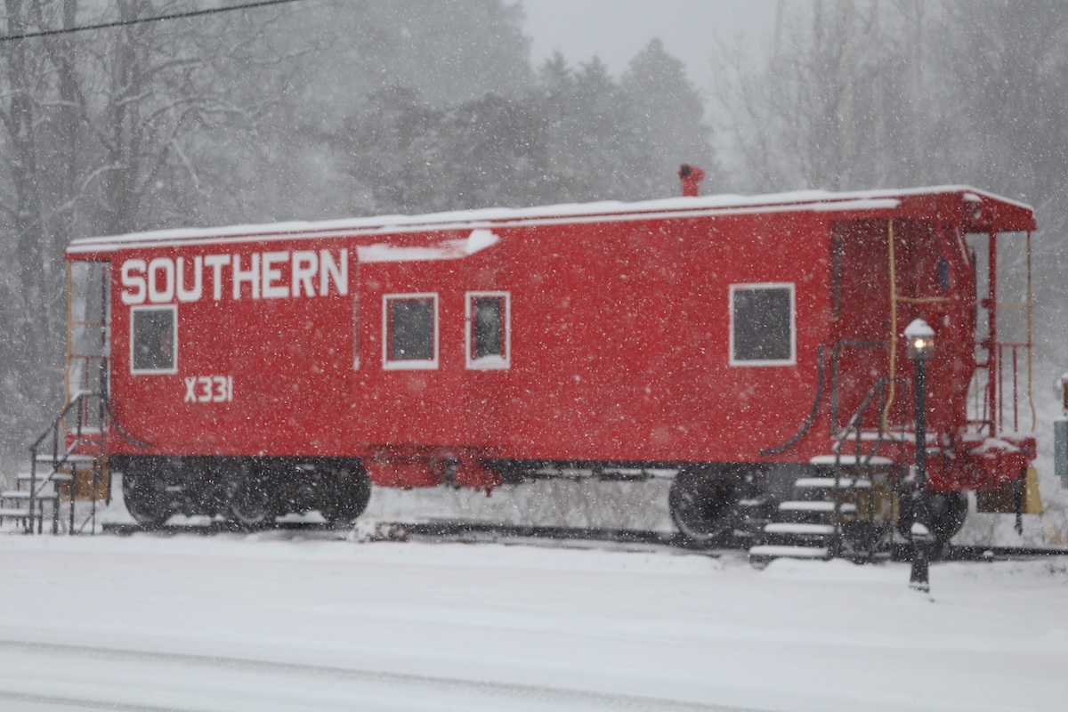
A beautiful, powdery snowfall fell across North Georgia on Saturday. Snowfall totals ranged from 2″ to the far south near Atlanta and up towards Blue Ridge with higher totals the further east you moved. The highest totals fell across Rabun County as well as the Eastanolee area where 8″ of snow was reported. Elsewhere, Mt. Airy picked up 7″ as well as Lexington.
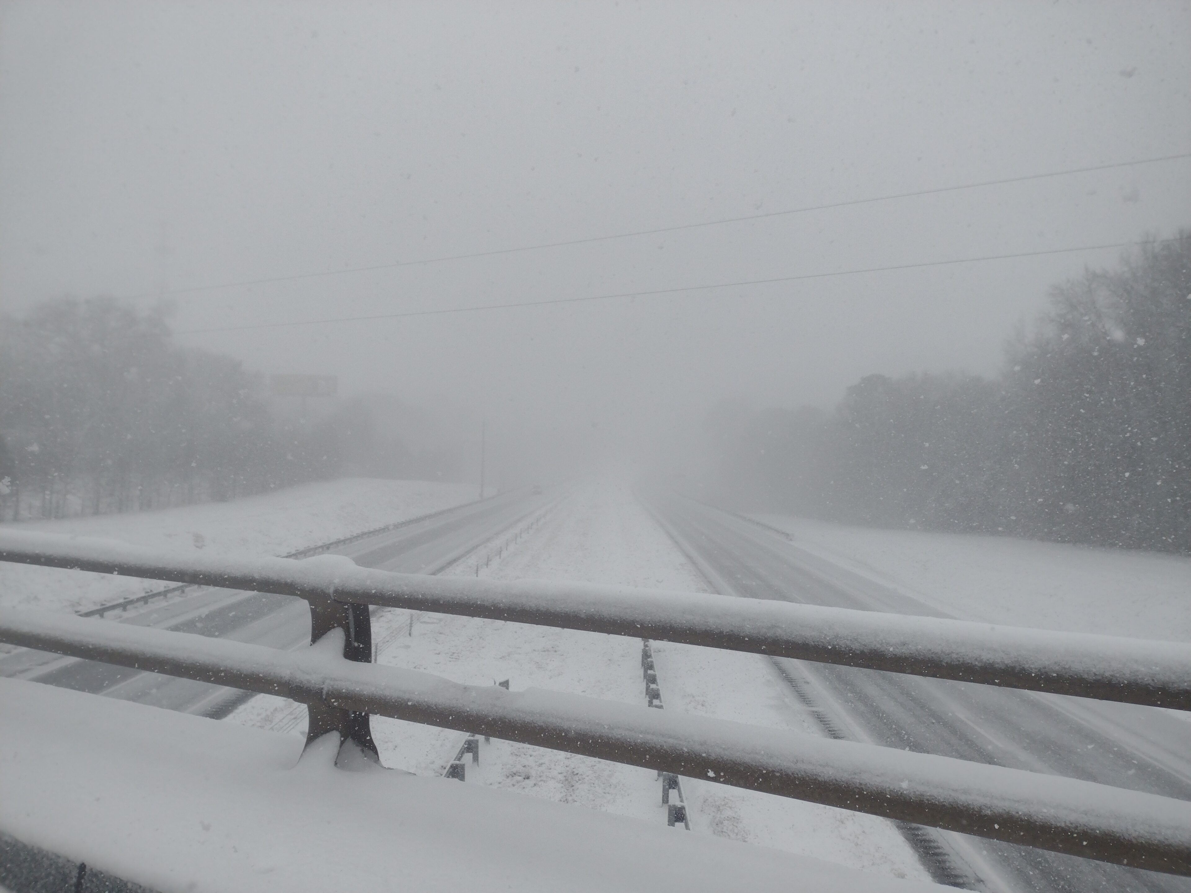
Road conditions were poor across the region and worsened into the evening as blowing snow increased. Winds strengthened through the afternoon and evening, creating periods of reduced visibility—down to a few hundred yards or less during stronger gusts. Isolated power outages occurred but were very limited, thankfully.
(Jaclyn Lee/(NowGeorgia.com)Low temperatures on Saturday morning reached bone-chilling levels with the snowfall. The Cornelia airport reached 11.3º. The Blairsville Airport had the coldest official reading of 7.9º with a minimum wind chill of -3º.
A home weather station off Cooper Creek Road in Suches had the lowest reading we could find on Sunday morning with an air temp of 3.4º and a wind chill reading of -8.4º.
Temperatures will remain below freezing for most of the region until Monday afternoon for the majority of the region, limiting snowfall melting.


