
Northeast Georgia’s afternoon and evening thunderstorms are keeping the Saharan dust cloud’s effects at bay, according to State Climatologist Bill Murphey.
The National Oceanic and Atmospheric Administration (NOAA) tells Now Habersham that there isn’t a cause for concern regarding agricultural impacts of the Saharan Dust Cloud, and Northeast Georgia is in the clear when it comes to the current location of the dust cloud, which is currently in South Georiga and Florida.
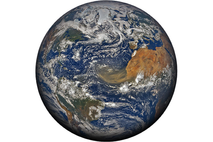
A second wave of the Sahara dust plume just reached the Gulf of Mexico and should make its way into Georgia within 24 to 36 hours. This dust plume will likely only have effects to the West. In the case that we don’t evening thunderstorms this week, Murphey says we could see “milky” skies. If those conditions arise, individuals with lung and heart conditions should exercise caution when going outside.
Murphey says that this coming wave doesn’t look “as intense” as the one proceeding, which was at its worst in Georgia on Saturday, during which a code orange air quality alert was released for Atlanta. He predicts that if we get a dry window of six to eight hours, there could be some cloudy air on Thursday or Friday.
“I don’t think you’ll be able to notice too much, you might get a brief window in there, maybe, just a very brief window on Thursday if we don’t get the afternoon and evening thunderstorms,” Murphey says. “You might see just a little bit of haze in the atmosphere if that occurs.”


