

TUESDAY: Skies will be partly to mostly cloudy with highs back into the low-80s again. A very isolated shower can’t be ruled out during the afternoon but chances are less than 10%
WEDNESDAY: A strong cold front will approach from the west. Southwest winds will increase with gusts to 20 m.p.h. Highs will reach into the low/mid-80s.
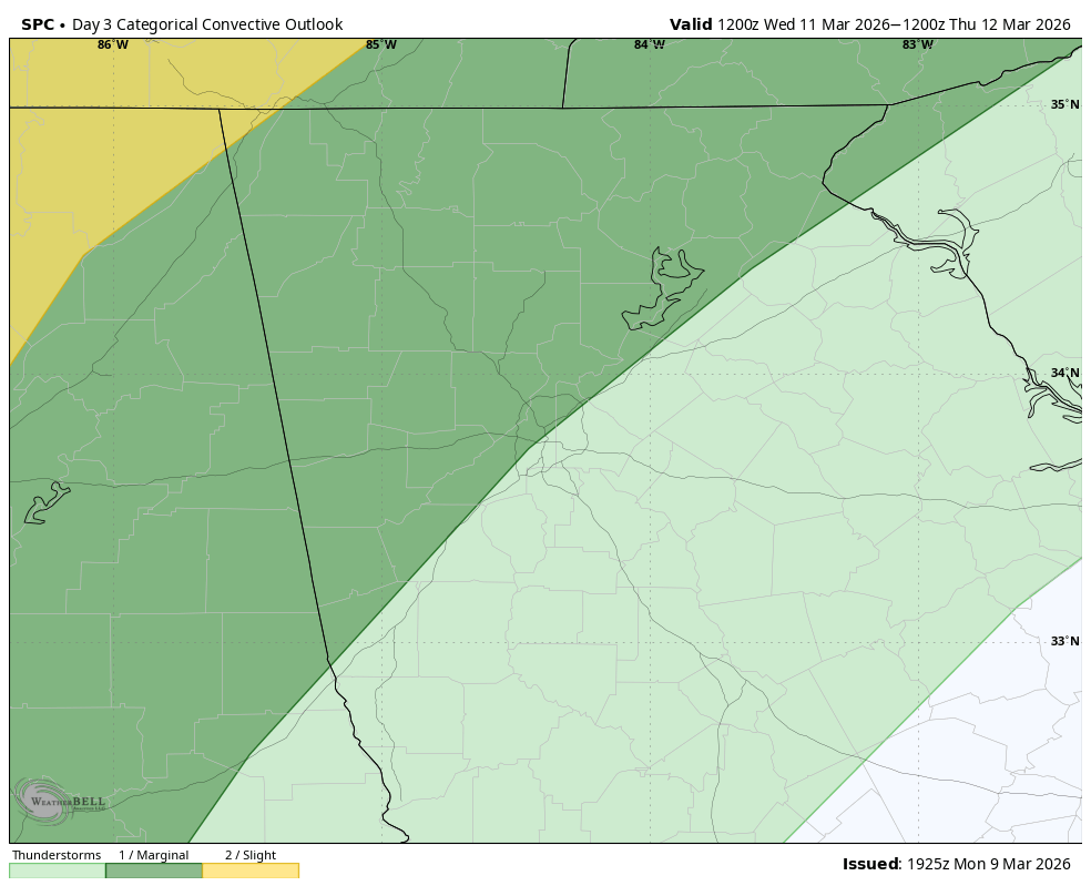
The Storm Prediction Center has outlined an area for severe storms to our north/west, and this threat could spread southeast into early Thursday morning. The current arrival time of the line of storms falling in the wee hours of Wednesday night into Thursday morning should limit the overall threat. Still, some damaging winds are possible. We’ll also see some beneficial rainfall with generally 1/2-1″ expected.
THURSDAY: Storms will continue through the first half of the day. The front will clear by mid-afternoon, with likely some winds picking up in its wake with gusts to 20 m.p.h. Sunshine will gradually build in from the west through the afternoon and evening. We’ll cool off significantly from where we are, but highs will remain in the low/mid-60s so right at average for this time of year. Overnight lows Thursday night will drop into the low-40s- our lowest in some time.
FRIDAY: Sunshine-y skies will dominate behind the front with highs returning to the mid/upper-60s.
SATURDAY: The cold snap will be short lived with highs returning to the mid/upper-70s to start the weekend.


